Iwatsuki geodata
Iwatsuki (Saitama) is a populated place; located in Japan in Asia/Tokyo (GMT+9) time zone. With population of 108,833 people, there are 189 cities with bigger population in this country. Compared to other cities in Japan, 66.4% of cities are located further ↓South; 73.3% of cities are located further ←West and 76.3% of cities have higher elevation than Iwatsuki. Note1


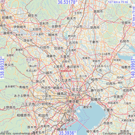
Iwatsuki GPS coordinates[2]
35° 57' 53.064" North, 139° 41' 47.184" East
| Map corner | latitude | longitude |
|---|---|---|
| Upper-left | 36.53178°, | 138.99332° |
| Center: | 35.96474°, | 139.69644° |
| Lower-right: | 35.3936°, | 140.39957° |
| Map W x H: | 126.6×126.6 km | = 78.7×78.7mi |
| max Lat: | 45.40944° ⇑33.6% North |
| Iwatsuki: | 35.96474° |
| min Lat: | ⇓66.4% South 24.34478° |
| min Long | Iwatsuki | max Long |
| 123° | 139.69644° | 145.575° |
| W 73.3%⇐ | ⇒26.7% E |
Elevation
Elevation of Iwatsuki is 9 m = 30 ft, and this is 75.6 m = 248 ft below average elevation for this country.
| Max E: |
1086 m = 3563 ft | 76.3% |
| Avg. | 84.6 m = 278 ft | |
| Iwatsuki | 9 m = 30 ft | |
Min E: |
-2 m = -7 ft | 23.7% |
See also: Iwatsuki elevation on elevation.city.
Geographical zone
Iwatsuki is located in North temperate zone (between Tropic of Cancer and the Arctic Circle). Distance of this Northern Tropic circle is 1393 km =865.6 mi to South.| Distance of | km | miles | from Iwatsuki |
|---|---|---|---|
| North Pole | 6008.2 | 3733.3 | to North |
| Arctic Circle | 3402.3 | 2114.1 | to North |
| Tropic Cancer | 1393 | 865.6 | to South |
| Equator | 3998.9 | 2484.8 | to South |


Nearby cities:
15 places around Iwatsuki: (largest is in red/bold)
• Ageoshimo
7.5 km =4.7 mi,  275°
275°
• Hasuda
4.3 km =2.7 mi, 279°
• Hatogaya-honchō
15.2 km =9.4 mi,  164°
164°
• Kasukabe
5.2 km =3.2 mi,  66°
66°
• Koshigaya
11.8 km =7.3 mi,  134°
134°
• Kukichūō
11.6 km =7.2 mi,  350°
350°
• Noda
15.5 km =9.6 mi,  96°
96°
• Okegawa
13.1 km =8.1 mi,  287°
287°
• Saitama
7.3 km =4.5 mi,  209°
209°
• Satte
12.3 km =7.6 mi,  12°
12°
• Shiraoka
6.8 km =4.2 mi,  331°
331°
• Shōbu
14.3 km =8.9 mi,  322°
322°
• Sugito
7.9 km =4.9 mi,  20°
20°
• Yono
10.7 km =6.6 mi, 212°
• Yoshikawa
15.4 km =9.6 mi,  121°
121°
Sources, notices
• [Note1] Compared only with cities in Japan existing in our database
• [Src1] Map data: © OpenStreetMap contributors (CC-BY-SA)
• [Src2] Other city data from geonames.org with taken over terms of usage.
• [Src3] Geographical zone / Annual Mean Temperature by Robert A. Rohde @ Wikipedia
