Chatan geodata
Chatan (Okinawa) is a seat of a third-order administrative division; located in Japan in Asia/Tokyo (GMT+9) time zone. With population of 27,844 people, there are 567 cities with bigger population in this country. Compared to other cities in Japan, 99.1% of cities are located further ↑North; 99.1% of cities are located further →East and 51.1% of cities have higher elevation than Chatan. Note1


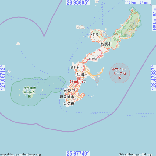
Chatan GPS coordinates[2]
26° 18' 34.128" North, 127° 46' 12.864" East
| Map corner | latitude | longitude |
|---|---|---|
| Upper-left | 26.93805°, | 127.06712° |
| Center: | 26.30948°, | 127.77024° |
| Lower-right: | 25.67749°, | 128.47337° |
| Map W x H: | 140.2×140.2 km | = 87.1×87.1mi |
| max Lat: | 45.40944° ⇑99.1% North |
| Chatan: | 26.30948° |
| min Lat: | ⇓0.9% South 24.34478° |
| min Long | Chatan | max Long |
| 123° | 127.77024° | 145.575° |
| W 0.9%⇐ | ⇒99.1% E |
Elevation
Elevation of Chatan is 27 m = 89 ft, and this is 57.6 m = 189 ft below average elevation for this country.
| Max E: |
1086 m = 3563 ft | 51.1% |
| Avg. | 84.6 m = 278 ft | |
| Chatan | 27 m = 89 ft | |
Min E: |
-2 m = -7 ft | 48.9% |
See also: Japan elevation on elevation.city.
Geographical zone
Chatan is located in North temperate zone (between Tropic of Cancer and the Arctic Circle). Distance of this Northern Tropic circle is 319.4 km =198.5 mi to South.| Distance of | km | miles | from Chatan |
|---|---|---|---|
| North Pole | 7081.7 | 4400.4 | to North |
| Arctic Circle | 4475.8 | 2781.1 | to North |
| Tropic Cancer | 319.4 | 198.5 | to South |
| Equator | 2925.3 | 1817.7 | to South |


Nearby cities:
15 places around Chatan: (largest is in red/bold)
• Amami
286 km =177.7 mi,  36°
36°
• Ginowan
5.3 km =3.3 mi,  189°
189°
• Gushikawa
11.2 km =7 mi,  60°
60°
• Hirara
298.8 km =185.7 mi,  235°
235°
• Ishikawa
13.6 km =8.5 mi,  21°
21°
• Itoman
22.7 km =14.1 mi,  206°
206°
• Katsuren-haebaru
10.7 km =6.6 mi,  75°
75°
• Nago
40.2 km =25 mi,  32°
32°
• Naha
13.5 km =8.4 mi,  220°
220°
• Nanjō
18.4 km =11.4 mi,  181°
181°
• Naze
284.5 km =176.8 mi, 36°
• Okinawa
4.3 km =2.7 mi,  46°
46°
• Tomigusuku
16.3 km =10.1 mi, 212°
• Urasoe
6.9 km =4.3 mi, 215°
• Uruma
11.5 km =7.1 mi, 50°
Sources, notices
• [Note1] Compared only with cities in Japan existing in our database
• [Src1] Map data: © OpenStreetMap contributors (CC-BY-SA)
• [Src2] Other city data from geonames.org with taken over terms of usage.
• [Src3] Geographical zone / Annual Mean Temperature by Robert A. Rohde @ Wikipedia
