Isa geodata
Isa (Kagoshima) is a seat of a second-order administrative division; located in Japan in Asia/Tokyo (GMT+9) time zone. In our database, there are 767 cities with bigger population. Compared to other cities in Japan, 94.8% of cities are located further ↑North; 91.1% of cities are located further →East and 86.3% of cities have lower elevation than Isa. Note1


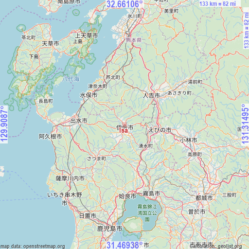
Isa GPS coordinates[2]
32° 4' 1.776" North, 130° 36' 42.552" East
| Map corner | latitude | longitude |
|---|---|---|
| Upper-left | 32.66106°, | 129.9087° |
| Center: | 32.06716°, | 130.61182° |
| Lower-right: | 31.46938°, | 131.31495° |
| Map W x H: | 132.5×132.5 km | = 82.3×82.3mi |
| max Lat: | 45.40944° ⇑94.8% North |
| Isa: | 32.06716° |
| min Lat: | ⇓5.2% South 24.34478° |
| min Long | Isa | max Long |
| 123° | 130.61182° | 145.575° |
| W 8.9%⇐ | ⇒91.1% E |
Elevation
Elevation of Isa is 183 m = 600 ft, and this is 98.4 m = 323 ft above average elevation for this country.
| Max E: |
1086 m = 3563 ft | 13.7% |
| Isa | 183 m 600 ft | |
| Avg. | 84.6 m = 278 ft | |
Min E: |
-2 m = -7 ft | 86.3% |
See also: Japan elevation on elevation.city.
Geographical zone
Isa is located in North temperate zone (between Tropic of Cancer and the Arctic Circle). Distance of this Northern Tropic circle is 959.6 km =596.3 mi to South.| Distance of | km | miles | from Isa |
|---|---|---|---|
| North Pole | 6441.5 | 4002.6 | to North |
| Arctic Circle | 3835.6 | 2383.3 | to North |
| Tropic Cancer | 959.6 | 596.3 | to South |
| Equator | 3565.5 | 2215.5 | to South |


Nearby cities:
15 places around Isa: (largest is in red/bold)
• Aira
32.6 km =20.3 mi,  183°
183°
• Akune
39.2 km =24.4 mi,  261°
261°
• Ebino
22 km =13.7 mi,  95°
95°
• Hamanoichi
40.6 km =25.2 mi,  163°
163°
• Hitoyoshi
21.1 km =13.1 mi,  38°
38°
• Ichikikushikino
48.1 km =29.9 mi,  218°
218°
• Izumi
23.2 km =14.4 mi,  274°
274°
• Kajiki
37.5 km =23.3 mi,  172°
172°
• Kirishima
39 km =24.2 mi, 158°
• Kobayashi
36.2 km =22.5 mi, 104°
• Kokubu-matsuki
39.9 km =24.8 mi, 158°
• Minamata
26 km =16.2 mi,  309°
309°
• Satsumasendai
40.5 km =25.2 mi,  226°
226°
• Yotsueda
13.1 km =8.1 mi,  116°
116°
• Ōkuchi-shinohara
1.2 km =0.7 mi,  86°
86°
Sources, notices
• [Note1] Compared only with cities in Japan existing in our database
• [Src1] Map data: © OpenStreetMap contributors (CC-BY-SA)
• [Src2] Other city data from geonames.org with taken over terms of usage.
• [Src3] Geographical zone / Annual Mean Temperature by Robert A. Rohde @ Wikipedia
