Sandan geodata
Sandan (Kampong Thom) is a seat of a second-order administrative division; located in Cambodia in Asia/Phnom_Penh (GMT+7) time zone. In our database, there are 29 cities with bigger population. Compared to other cities in Cambodia, 69.7% of cities are located further ↓South; 72.7% of cities are located further ←West and 56.8% of cities have lower elevation than Sandan. Note1


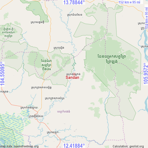
Sandan GPS coordinates[2]
13° 6' 16.524" North, 105° 15' 14.652" East
| Map corner | latitude | longitude |
|---|---|---|
| Upper-left | 13.78844°, | 104.55095° |
| Center: | 13.10459°, | 105.25407° |
| Lower-right: | 12.41884°, | 105.9572° |
| Map W x H: | 152.3×152.3 km | = 94.6×94.6mi |
| max Lat: | 14.23223° ⇑30.3% North |
| Sandan: | 13.10459° |
| min Lat: | ⇓69.7% South 10.48291° |
| min Long | Sandan | max Long |
| 102.37574° | 105.25407° | 107.42393° |
| W 72.7%⇐ | ⇒27.3% E |
Elevation
Elevation of Sandan is 24 m = 79 ft, and this is 28 m = 92 ft below average elevation for this country.
| Max E: |
678 m = 2224 ft | 43.2% |
| Avg. | 52 m = 171 ft | |
| Sandan | 24 m = 79 ft | |
Min E: |
4 m = 13 ft | 56.8% |
See also: Cambodia elevation on elevation.city.
Geographical zone
Sandan is located in North Torrid zone (between Equator and Tropic of Cancer). Distance of this Northern Tropic circle is 1148.8 km =713.8 mi to North.| Distance of | km | miles | from Sandan |
|---|---|---|---|
| North Pole | 8550 | 5312.7 | to North |
| Arctic Circle | 5944.1 | 3693.5 | to North |
| Tropic Cancer | 1148.8 | 713.8 | to North |
| Equator | 1457.1 | 905.4 | to South |


Nearby cities:
15 places around Sandan: (largest is in red/bold)
• Baray
81.3 km =50.5 mi,  193°
193°
• Chamkar Leu
88.6 km =55.1 mi,  178°
178°
• Chi Kraeng
98.3 km =61.1 mi,  271°
271°
• Kampong Leaeng
108.6 km =67.5 mi,  211°
211°
• Kampong Thom
59 km =36.7 mi,  222°
222°
• Kratié
107.6 km =66.9 mi,  129°
129°
• Kuleaen
99.8 km =62 mi,  322°
322°
• Pal Hal
82.1 km =51 mi,  338°
338°
• Sangkom Thmei
64.6 km =40.1 mi,  325°
325°
• Sesan
103.5 km =64.3 mi,  61°
61°
• Stoung
76.2 km =47.3 mi,  256°
256°
• Stueng Saen
58.8 km =36.5 mi, 221°
• Stueng Trang
99.2 km =61.6 mi,  162°
162°
• Stung Treng
90.4 km =56.2 mi, 58°
• Tbeng Meanchey
83.5 km =51.9 mi, 339°
Sources, notices
• [Note1] Compared only with cities in Cambodia existing in our database
• [Src1] Map data: © OpenStreetMap contributors (CC-BY-SA)
• [Src2] Other city data from geonames.org with taken over terms of usage.
• [Src3] Geographical zone / Annual Mean Temperature by Robert A. Rohde @ Wikipedia
