Champasak geodata
Champasak is a populated place; located in Laos in Asia/Vientiane (GMT+7) time zone. With population of 12,994 people, there are 14 cities with bigger population in this country. Compared to other cities in Laos, 90.4% of cities are located further ↑North; 76.9% of cities are located further ←West and 94.2% of cities have higher elevation than Champasak. Note1


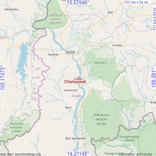
Champasak GPS coordinates[2]
14° 53' 31.344" North, 105° 52' 40.332" East
| Map corner | latitude | longitude |
|---|---|---|
| Upper-left | 15.57046°, | 105.17475° |
| Center: | 14.89204°, | 105.87787° |
| Lower-right: | 14.21148°, | 106.581° |
| Map W x H: | 151.1×151.1 km | = 93.9×93.9mi |
| max Lat: | 21.6808° ⇑90.4% North |
| Champasak: | 14.89204° |
| min Lat: | ⇓9.6% South 14.11785° |
| min Long | Champasak | max Long |
| 100.4178° | 105.87787° | 107.26667° |
| W 76.9%⇐ | ⇒23.1% E |
Elevation
Elevation of Champasak is 101 m = 331 ft, and this is 372.6 m = 1222 ft below average elevation for this country.
| Max E: |
1722 m = 5650 ft | 94.2% |
| Avg. | 473.6 m = 1554 ft | |
| Champasak | 101 m = 331 ft | |
Min E: |
83 m = 272 ft | 5.8% |
See also: Laos elevation on elevation.city.
Geographical zone
Champasak is located in North Torrid zone (between Equator and Tropic of Cancer). Distance of this Northern Tropic circle is 950.1 km =590.4 mi to North.| Distance of | km | miles | from Champasak |
|---|---|---|---|
| North Pole | 8351.2 | 5189.2 | to North |
| Arctic Circle | 5745.3 | 3570 | to North |
| Tropic Cancer | 950.1 | 590.4 | to North |
| Equator | 1655.8 | 1028.9 | to South |


Nearby cities:
15 places around Champasak: (largest is in red/bold)
• Attapeu
102.9 km =63.9 mi,  95°
95°
• Ban Fangdèng
113.9 km =70.8 mi,  94°
94°
• Ban Hatgnao
79.3 km =49.3 mi,  107°
107°
• Ban Thatèng
81 km =50.3 mi,  42°
42°
• Dak Cheung
162.2 km =100.8 mi,  66°
66°
• Lamam
105.3 km =65.4 mi,  56°
56°
• Muang Không
86.1 km =53.5 mi,  181°
181°
• Muang Phin
183.2 km =113.8 mi,  4°
4°
• Pakse
26.7 km =16.6 mi,  341°
341°
• Pakxong
49.7 km =30.9 mi,  49°
49°
• Phônthong
33.4 km =20.8 mi,  314°
314°
• Salavan
108.4 km =67.4 mi,  32°
32°
• Sanaxy
149.2 km =92.7 mi,  84°
84°
• Sekong
103.9 km =64.6 mi, 60°
• Xaysetha
113.9 km =70.8 mi, 94°
Sources, notices
• [Note1] Compared only with cities in Laos existing in our database
• [Src1] Map data: © OpenStreetMap contributors (CC-BY-SA)
• [Src2] Other city data from geonames.org with taken over terms of usage.
• [Src3] Geographical zone / Annual Mean Temperature by Robert A. Rohde @ Wikipedia
