Mili geodata
Mili (Mili Atoll) is a seat of a first-order administrative division; located in Marshall Islands in Pacific/Majuro (GMT+12) time zone. With population of 854 people, there are 5 cities with bigger population in this country. Compared to other cities in Marshall Islands, 83.3% of cities are located further ↑North; 100% of cities are located further ←West and 50% of cities have lower elevation than Mili. Note1


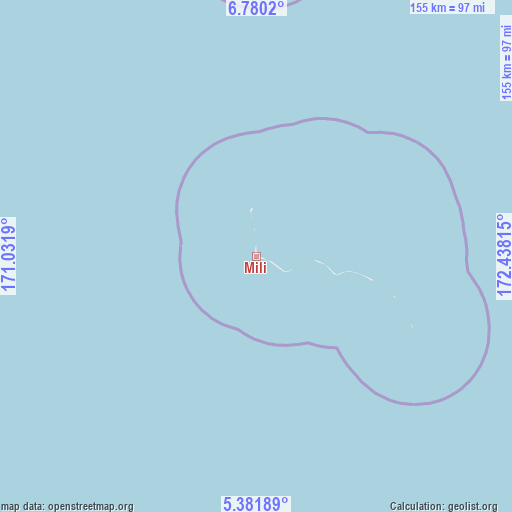
Mili GPS coordinates[2]
6° 4' 53.4" North, 171° 44' 6.072" East
| Map corner | latitude | longitude |
|---|---|---|
| Upper-left | 6.7802°, | 171.0319° |
| Center: | 6.0815°, | 171.73502° |
| Lower-right: | 5.38189°, | 172.43815° |
| Map W x H: | 155.5×155.5 km | = 96.6×96.6mi |
| max Lat: | 11.34735° ⇑83.3% North |
| Mili: | 6.0815° |
| min Lat: | ⇓16.7% South 4.58199° |
| min Long | Mili | max Long |
| 162.33733° | 171.73502° | 171.73502° |
| W 100%⇐ | ⇒0% E |
Elevation
Elevation of Mili is 10 m = 33 ft, and this is 0.3 m = 1 ft above average elevation for this country.
| Max E: |
16 m = 52 ft | 50% |
| Mili | 10 m 33 ft | |
| Avg. | 9.7 m = 32 ft | |
Min E: |
5 m = 16 ft | 50% |
See also: Marshall Islands elevation on elevation.city.
Geographical zone
Mili is located in North Torrid zone (between Equator and Tropic of Cancer). Distance of Equator is 676.2 km =420.2 mi to South.| Distance of | km | miles | from Mili |
|---|---|---|---|
| North Pole | 9330.9 | 5798 | to North |
| Arctic Circle | 6725 | 4178.7 | to North |
| Tropic Cancer | 1929.7 | 1199.1 | to North |
| Equator | 676.2 | 420.2 | to South |


Nearby cities:
13 places around Mili: (largest is in red/bold)
• Airuk
348.3 km =216.4 mi,  292°
292°
• Arno
111.4 km =69.2 mi,  349°
349°
• Aur
238.3 km =148.1 mi,  344°
344°
• Ebon
375.4 km =233.3 mi,  243°
243°
• Jabat
356.7 km =221.6 mi,  301°
301°
• Jabor
232 km =144.2 mi,  265°
265°
• Kili
293.2 km =182.2 mi,  260°
260°
• Loen
429.5 km =266.9 mi, 295°
• Majuro
118.8 km =73.8 mi, 340°
• Namdrik
405.3 km =251.8 mi, 262°
• RMI Capitol
118.7 km =73.8 mi, 340°
• Taroa
297.1 km =184.6 mi, 349°
• Wotje
409.7 km =254.6 mi, 336°
Sources, notices
• [Note1] Compared only with cities in Marshall Islands existing in our database
• [Src1] Map data: © OpenStreetMap contributors (CC-BY-SA)
• [Src2] Other city data from geonames.org with taken over terms of usage.
• [Src3] Geographical zone / Annual Mean Temperature by Robert A. Rohde @ Wikipedia
