Arno geodata
Arno (Arno Atoll) is a seat of a first-order administrative division; located in Marshall Islands in Pacific/Majuro (GMT+12) time zone. With population of 2,068 people, there are 2 cities with bigger population in this country. Compared to other cities in Marshall Islands, 79.2% of cities are located further ↑North; 95.8% of cities are located further ←West and 91.7% of cities have lower elevation than Arno. Note1


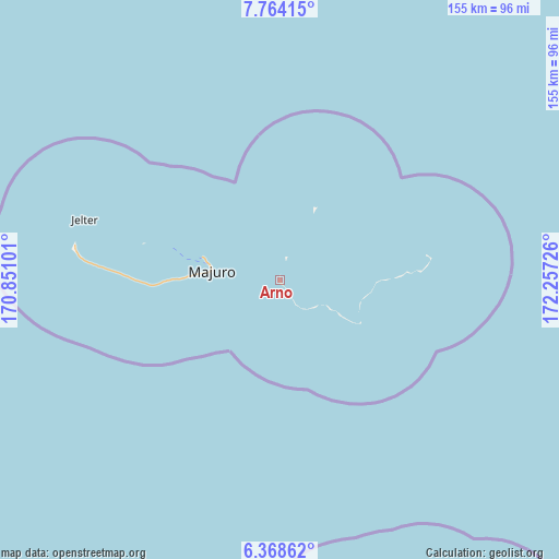
Arno GPS coordinates[2]
7° 4' 0.876" North, 171° 33' 14.868" East
| Map corner | latitude | longitude |
|---|---|---|
| Upper-left | 7.76415°, | 170.85101° |
| Center: | 7.06691°, | 171.55413° |
| Lower-right: | 6.36862°, | 172.25726° |
| Map W x H: | 155.2×155.2 km | = 96.4×96.4mi |
| max Lat: | 11.34735° ⇑79.2% North |
| Arno: | 7.06691° |
| min Lat: | ⇓20.8% South 4.58199° |
| min Long | Arno | max Long |
| 162.33733° | 171.55413° | 171.73502° |
| W 95.8%⇐ | ⇒4.2% E |
Elevation
Elevation of Arno is 14 m = 46 ft, and this is 4.3 m = 14 ft above average elevation for this country.
| Max E: |
16 m = 52 ft | 8.3% |
| Arno | 14 m 46 ft | |
| Avg. | 9.7 m = 32 ft | |
Min E: |
5 m = 16 ft | 91.7% |
See also: Marshall Islands elevation on elevation.city.
Geographical zone
Arno is located in North Torrid zone (between Equator and Tropic of Cancer). Distance of Equator is 785.8 km =488.3 mi to South.| Distance of | km | miles | from Arno |
|---|---|---|---|
| North Pole | 9221.3 | 5729.8 | to North |
| Arctic Circle | 6615.4 | 4110.6 | to North |
| Tropic Cancer | 1820.2 | 1131 | to North |
| Equator | 785.8 | 488.3 | to South |


Nearby cities:
15 places around Arno: (largest is in red/bold)
• Ailuk
390.9 km =242.9 mi,  333°
333°
• Airuk
302.5 km =188 mi,  274°
274°
• Aur
127.7 km =79.3 mi,  340°
340°
• Jabat
294.3 km =182.9 mi,  284°
284°
• Jabor
246.6 km =153.2 mi,  238°
238°
• Kili
312 km =193.9 mi, 239°
• Likiep
393.6 km =244.6 mi,  321°
321°
• Loen
374.5 km =232.7 mi, 281°
• Majuro
19.4 km =12.1 mi, 277°
• Mejit
364.7 km =226.6 mi,  348°
348°
• Mili
111.4 km =69.2 mi,  169°
169°
• Namdrik
414.8 km =257.7 mi,  246°
246°
• RMI Capitol
19.3 km =12 mi, 277°
• Taroa
185.7 km =115.4 mi, 348°
• Wotje
302.4 km =187.9 mi, 331°
Sources, notices
• [Note1] Compared only with cities in Marshall Islands existing in our database
• [Src1] Map data: © OpenStreetMap contributors (CC-BY-SA)
• [Src2] Other city data from geonames.org with taken over terms of usage.
• [Src3] Geographical zone / Annual Mean Temperature by Robert A. Rohde @ Wikipedia
