Diré geodata
Diré (Tombouctou) is a populated place; located in Mali in Africa/Bamako (GMT+0) time zone. With population of 10,943 people, there are 22 cities with bigger population in this country. Compared to other cities in Mali, 86.9% of cities are located further ↑North; 98.4% of cities are located further →East and 93.4% of cities have higher elevation than Diré. Note1


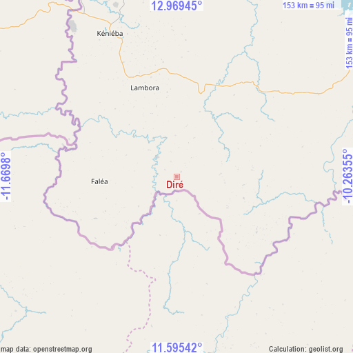
Diré GPS coordinates[2]
12° 16' 59.988" North, 10° 58' 0.012" West
| Map corner | latitude | longitude |
|---|---|---|
| Upper-left | 12.96945°, | -11.6698° |
| Center: | 12.28333°, | -10.96667° |
| Lower-right: | 11.59542°, | -10.26355° |
| Map W x H: | 152.8×152.8 km | = 94.9×94.9mi |
| max Lat: | 22.67443° ⇑86.9% North |
| Diré: | 12.28333° |
| min Lat: | ⇓13.1% South 10.55° |
| min Long | Diré | max Long |
| -11.44448° | -10.96667° | 3.14111° |
| W 1.6%⇐ | ⇒98.4% E |
Elevation
Elevation of Diré is 208 m = 682 ft, and this is 100 m = 328 ft below average elevation for this country.
| Max E: |
540 m = 1772 ft | 93.4% |
| Avg. | 308 m = 1010 ft | |
| Diré | 208 m = 682 ft | |
Min E: |
39 m = 128 ft | 6.6% |
See also: Mali elevation on elevation.city.
Geographical zone
Diré is located in North Torrid zone (between Equator and Tropic of Cancer). Distance of this Northern Tropic circle is 1240.1 km =770.6 mi to North.| Distance of | km | miles | from Diré |
|---|---|---|---|
| North Pole | 8641.3 | 5369.5 | to North |
| Arctic Circle | 6035.4 | 3750.2 | to North |
| Tropic Cancer | 1240.1 | 770.6 | to North |
| Equator | 1365.8 | 848.7 | to South |


Nearby cities:
15 places around Diré: (largest is in red/bold)
• Bafoulabé
170 km =105.6 mi,  4°
4°
• Bamako
324.7 km =201.8 mi,  82°
82°
• Diéma
315.9 km =196.3 mi,  37°
37°
• Figuira-Toma
285.6 km =177.5 mi,  98°
98°
• Kangaba
279.9 km =173.9 mi, 97°
• Kati
318.3 km =197.8 mi, 80°
• Kayes
246.1 km =152.9 mi,  347°
347°
• Kita
180.7 km =112.3 mi,  62°
62°
• Kokofata
128.9 km =80.1 mi, 58°
• Kolokani
348.7 km =216.7 mi,  65°
65°
• Koulikoro
375.3 km =233.2 mi, 80°
• Nioro
359.6 km =223.4 mi,  24°
24°
• Sagalo
30.4 km =18.9 mi,  107°
107°
• Yanfolila
330.1 km =205.1 mi, 111°
• Yélimané
318.1 km =197.7 mi,  7°
7°
Sources, notices
• [Note1] Compared only with cities in Mali existing in our database
• [Src1] Map data: © OpenStreetMap contributors (CC-BY-SA)
• [Src2] Other city data from geonames.org with taken over terms of usage.
• [Src3] Geographical zone / Annual Mean Temperature by Robert A. Rohde @ Wikipedia
