Barouéli geodata
Barouéli (Ségou) is a seat of a second-order administrative division; located in Mali in Africa/Bamako (GMT+0) time zone. In our database, there are 39 cities with bigger population. Compared to other cities in Mali, 65.6% of cities are located further ↑North; 67.2% of cities are located further →East and 62.3% of cities have lower elevation than Barouéli. Note1


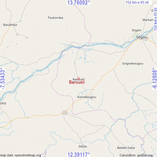
Barouéli GPS coordinates[2]
13° 4' 37.2" North, 6° 49' 52.32" West
| Map corner | latitude | longitude |
|---|---|---|
| Upper-left | 13.76092°, | -7.53433° |
| Center: | 13.077°, | -6.8312° |
| Lower-right: | 12.39117°, | -6.12808° |
| Map W x H: | 152.3×152.3 km | = 94.6×94.6mi |
| max Lat: | 22.67443° ⇑65.6% North |
| Barouéli: | 13.077° |
| min Lat: | ⇓34.4% South 10.55° |
| min Long | Barouéli | max Long |
| -11.44448° | -6.8312° | 3.14111° |
| W 32.8%⇐ | ⇒67.2% E |
Elevation
Elevation of Barouéli is 314 m = 1030 ft, and this is 6 m = 20 ft above average elevation for this country.
| Max E: |
540 m = 1772 ft | 37.7% |
| Barouéli | 314 m 1030 ft | |
| Avg. | 308 m = 1010 ft | |
Min E: |
39 m = 128 ft | 62.3% |
See also: Mali elevation on elevation.city.
Geographical zone
Barouéli is located in North Torrid zone (between Equator and Tropic of Cancer). Distance of this Northern Tropic circle is 1151.9 km =715.8 mi to North.| Distance of | km | miles | from Barouéli |
|---|---|---|---|
| North Pole | 8553 | 5314.6 | to North |
| Arctic Circle | 5947.1 | 3695.4 | to North |
| Tropic Cancer | 1151.9 | 715.8 | to North |
| Equator | 1454 | 903.5 | to South |


Nearby cities:
15 places around Barouéli: (largest is in red/bold)
• Bamako
135.3 km =84.1 mi,  249°
249°
• Banamba
84.8 km =52.7 mi,  308°
308°
• Bla
116.9 km =72.6 mi,  96°
96°
• Dioila
66.3 km =41.2 mi,  176°
176°
• Kati
139.5 km =86.7 mi, 254°
• Kolokani
141.3 km =87.8 mi,  292°
292°
• Koulikoro
82.5 km =51.3 mi, 253°
• Koutiala
166.7 km =103.6 mi,  117°
117°
• Ké-Macina
187.3 km =116.4 mi,  58°
58°
• Leleni
188.2 km =116.9 mi,  113°
113°
• Markala
108.1 km =67.2 mi,  49°
49°
• Niono
159 km =98.8 mi,  34°
34°
• Ntossoni
130.1 km =80.8 mi, 117°
• Ségou
77.4 km =48.1 mi, 59°
• Séguéla
115.7 km =71.9 mi,  5°
5°
Sources, notices
• [Note1] Compared only with cities in Mali existing in our database
• [Src1] Map data: © OpenStreetMap contributors (CC-BY-SA)
• [Src2] Other city data from geonames.org with taken over terms of usage.
• [Src3] Geographical zone / Annual Mean Temperature by Robert A. Rohde @ Wikipedia
