Urt geodata
Urt (Ömnögovĭ) is a seat of a second-order administrative division; located in Mongolia in Asia/Ulaanbaatar (GMT+8) time zone. In our database, there are 33 cities with bigger population. Compared to other cities in Mongolia, 98.5% of cities are located further ↑North; 59.2% of cities are located further →East and 77% of cities have lower elevation than Urt. Note1


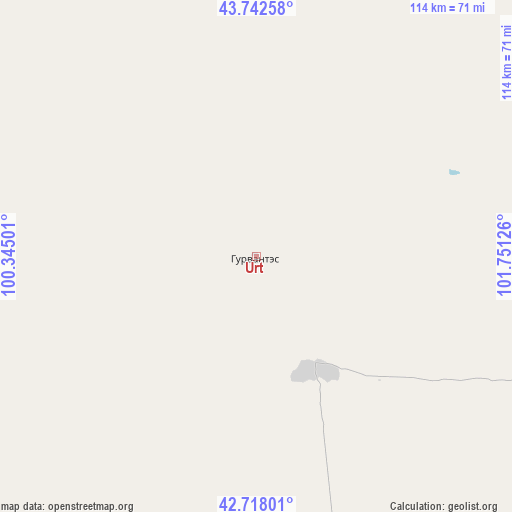
Urt GPS coordinates[2]
43° 13' 56.82" North, 101° 2' 53.268" East
| Map corner | latitude | longitude |
|---|---|---|
| Upper-left | 43.74258°, | 100.34501° |
| Center: | 43.23245°, | 101.04813° |
| Lower-right: | 42.71801°, | 101.75126° |
| Map W x H: | 113.9×113.9 km | = 70.8×70.8mi |
| max Lat: | 51.50725° ⇑98.5% North |
| Urt: | 43.23245° |
| min Lat: | ⇓1.5% South 42.84199° |
| min Long | Urt | max Long |
| 89.14358° | 101.04813° | 118.51014° |
| W 40.8%⇐ | ⇒59.2% E |
Elevation
Elevation of Urt is 1727 m = 5666 ft, and this is 310.5 m = 1019 ft above average elevation for this country.
| Max E: |
2800 m = 9186 ft | 23% |
| Urt | 1727 m 5666 ft | |
| Avg. | 1416.5 m = 4647 ft | |
Min E: |
619 m = 2031 ft | 77% |
See also: Mongolia elevation on elevation.city.
Geographical zone
Urt is located in North temperate zone (between Tropic of Cancer and the Arctic Circle). Distance of this Northern Tropic circle is 2201.1 km =1367.7 mi to South.| Distance of | km | miles | from Urt |
|---|---|---|---|
| North Pole | 5200.1 | 3231.2 | to North |
| Arctic Circle | 2594.2 | 1612 | to North |
| Tropic Cancer | 2201.1 | 1367.7 | to South |
| Equator | 4807 | 2986.9 | to South |


Nearby cities:
15 places around Urt: (largest is in red/bold)
• Arguut
270.9 km =168.3 mi,  23°
23°
• Bayan Uula Sumu
216.9 km =134.8 mi,  7°
7°
• Bodĭ
245.2 km =152.4 mi,  351°
351°
• Bulgan
222.5 km =138.3 mi,  64°
64°
• Bulgan
257.9 km =160.3 mi,  311°
311°
• Dalay
201 km =124.9 mi,  82°
82°
• Dzalaa
203.2 km =126.3 mi,  315°
315°
• Hatansuudal
147.1 km =91.4 mi, 353°
• Horiult
219.9 km =136.6 mi, 354°
• Hovd
183.6 km =114.1 mi,  29°
29°
• Hovd
192 km =119.3 mi, 33°
• Noyon Suma
88.1 km =54.7 mi,  94°
94°
• Saynshand
127.3 km =79.1 mi,  70°
70°
• Tsoohor
245.1 km =152.3 mi, 88°
• Örgön
175.3 km =108.9 mi,  342°
342°
Sources, notices
• [Note1] Compared only with cities in Mongolia existing in our database
• [Src1] Map data: © OpenStreetMap contributors (CC-BY-SA)
• [Src2] Other city data from geonames.org with taken over terms of usage.
• [Src3] Geographical zone / Annual Mean Temperature by Robert A. Rohde @ Wikipedia
