Viligili geodata
Viligili (Gaafu Alifu Atholhu) is a seat of a first-order administrative division; located in Maldives in Indian/Maldives (GMT+5) time zone. With population of 2,925 people, there are 9 cities with bigger population in this country. Compared to other cities in Maldives, 85.7% of cities are located further ↑North; 75% of cities are located further ←West and 89.3% of cities have higher elevation than Viligili. Note1


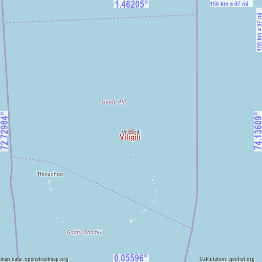
Viligili GPS coordinates[2]
0° 45' 32.616" North, 73° 25' 58.656" East
| Map corner | latitude | longitude |
|---|---|---|
| Upper-left | 1.46205°, | 72.72984° |
| Center: | 0.75906°, | 73.43296° |
| Lower-right: | 0.05596°, | 74.13609° |
| Map W x H: | 156.3×156.3 km | = 97.1×97.1mi |
| max Lat: | 6.88744° ⇑85.7% North |
| Viligili: | 0.75906° |
| min Lat: | ⇓14.3% South -0.6° |
| min Long | Viligili | max Long |
| 72.89437° | 73.43296° | 73.56667° |
| W 75%⇐ | ⇒25% E |
Elevation
Elevation of Viligili is 5 m = 16 ft, and this is 2.3 m = 8 ft below average elevation for this country.
| Max E: |
12 m = 39 ft | 89.3% |
| Avg. | 7.3 m = 24 ft | |
| Viligili | 5 m = 16 ft | |
Min E: |
-1 m = -3 ft | 10.7% |
See also: Maldives elevation on elevation.city.
Geographical zone
Viligili is located in North Torrid zone (between Equator and Tropic of Cancer). Distance of Equator is 84.4 km =52.4 mi to South.| Distance of | km | miles | from Viligili |
|---|---|---|---|
| North Pole | 9922.7 | 6165.7 | to North |
| Arctic Circle | 7316.8 | 4546.4 | to North |
| Tropic Cancer | 2521.5 | 1566.8 | to North |
| Equator | 84.4 | 52.4 | to South |


Nearby cities:
15 places around Viligili: (largest is in red/bold)
• Buruni
203.4 km =126.4 mi,  349°
349°
• Diyamigili
176.1 km =109.4 mi,  356°
356°
• Felidhoo
301.9 km =187.6 mi,  2°
2°
• Fonadhoo
119.6 km =74.3 mi, 3°
• Fuvahmulah
117.6 km =73.1 mi,  180°
180°
• Guraidhoo
174.6 km =108.5 mi, 355°
• Hithadhoo
115.5 km =71.8 mi, 357°
• Hithadhoo
156 km =96.9 mi,  194°
194°
• Kudahuvadhoo
220.8 km =137.2 mi,  344°
344°
• Madifushi
177.8 km =110.5 mi, 357°
• Meedhoo
150.9 km =93.8 mi, 188°
• Muli
240.4 km =149.4 mi, 3°
• Thinadhoo
54.5 km =33.9 mi,  242°
242°
• Veymandoo
163.2 km =101.4 mi, 346°
• Vilufushi
194.4 km =120.8 mi, 355°
Sources, notices
• [Note1] Compared only with cities in Maldives existing in our database
• [Src1] Map data: © OpenStreetMap contributors (CC-BY-SA)
• [Src2] Other city data from geonames.org with taken over terms of usage.
• [Src3] Geographical zone / Annual Mean Temperature by Robert A. Rohde @ Wikipedia
