Thinadhoo geodata
Thinadhoo (Gaafu Dhaalu Atholhu) is a seat of a first-order administrative division; located in Maldives in Indian/Maldives (GMT+5) time zone. With population of 6,376 people, there are 4 cities with bigger population in this country. Compared to other cities in Maldives, 89.3% of cities are located further ↑North; 92.9% of cities are located further →East and 71.4% of cities have higher elevation than Thinadhoo. Note1


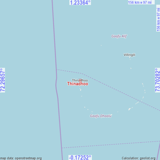
Thinadhoo GPS coordinates[2]
0° 31' 50.16" North, 72° 59' 58.884" East
| Map corner | latitude | longitude |
|---|---|---|
| Upper-left | 1.23364°, | 72.29657° |
| Center: | 0.5306°, | 72.99969° |
| Lower-right: | -0.17252°, | 73.70282° |
| Map W x H: | 156.4×156.4 km | = 97.2×97.2mi |
| max Lat: | 6.88744° ⇑89.3% North |
| Thinadhoo: | 0.5306° |
| min Lat: | ⇓10.7% South -0.6° |
| min Long | Thinadhoo | max Long |
| 72.89437° | 72.99969° | 73.56667° |
| W 7.1%⇐ | ⇒92.9% E |
Elevation
Elevation of Thinadhoo is 7 m = 23 ft, and this is 0.3 m = 1 ft below average elevation for this country.
| Max E: |
12 m = 39 ft | 71.4% |
| Avg. | 7.3 m = 24 ft | |
| Thinadhoo | 7 m = 23 ft | |
Min E: |
-1 m = -3 ft | 28.6% |
See also: Maldives elevation on elevation.city.
Geographical zone
Thinadhoo is located in North Torrid zone (between Equator and Tropic of Cancer). Distance of Equator is 59 km =36.7 mi to South.| Distance of | km | miles | from Thinadhoo |
|---|---|---|---|
| North Pole | 9948.1 | 6181.5 | to North |
| Arctic Circle | 7342.2 | 4562.2 | to North |
| Tropic Cancer | 2546.9 | 1582.6 | to North |
| Equator | 59 | 36.7 | to South |


Nearby cities:
15 places around Thinadhoo: (largest is in red/bold)
• Buruni
225.9 km =140.4 mi,  3°
3°
• Diyamigili
204.7 km =127.2 mi,  10°
10°
• Felidhoo
332.6 km =206.7 mi, 10°
• Fonadhoo
155.2 km =96.4 mi,  21°
21°
• Fuvahmulah
103.6 km =64.4 mi,  152°
152°
• Guraidhoo
202.6 km =125.9 mi, 10°
• Hithadhoo
126.1 km =78.4 mi,  175°
175°
• Hithadhoo
147.3 km =91.5 mi, 17°
• Kudahuvadhoo
238.3 km =148.1 mi,  357°
357°
• Madifushi
206.7 km =128.4 mi, 11°
• Meedhoo
126.6 km =78.7 mi,  168°
168°
• Muli
272.7 km =169.4 mi, 13°
• Veymandoo
184.6 km =114.7 mi, 3°
• Viligili
54.5 km =33.9 mi,  62°
62°
• Vilufushi
222 km =137.9 mi, 8°
Sources, notices
• [Note1] Compared only with cities in Maldives existing in our database
• [Src1] Map data: © OpenStreetMap contributors (CC-BY-SA)
• [Src2] Other city data from geonames.org with taken over terms of usage.
• [Src3] Geographical zone / Annual Mean Temperature by Robert A. Rohde @ Wikipedia
