Atempa geodata
Atempa (Veracruz) is a populated place; located in Mexico in America/Mexico_City (GMT-6) time zone. With population of 643 people, there are 13457 cities with bigger population in this country. Compared to other cities in Mexico, 72.6% of cities are located further ↓South; 58.4% of cities are located further ←West and 69.6% of cities have higher elevation than Atempa. Note1


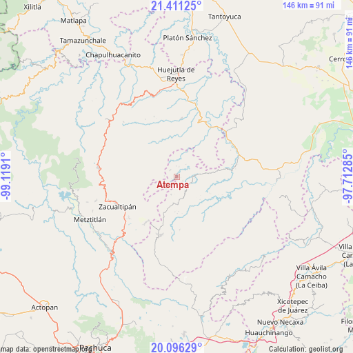
Atempa GPS coordinates[2]
20° 45' 18.72" North, 98° 24' 57.492" West
| Map corner | latitude | longitude |
|---|---|---|
| Upper-left | 21.41125°, | -99.1191° |
| Center: | 20.7552°, | -98.41597° |
| Lower-right: | 20.09629°, | -97.71285° |
| Map W x H: | 146.2×146.2 km | = 90.8×90.8mi |
| max Lat: | 32.7° ⇑27.4% North |
| Atempa: | 20.7552° |
| min Lat: | ⇓72.6% South 14.53588° |
| min Long | Atempa | max Long |
| -117.105° | -98.41597° | -86.73105° |
| W 58.4%⇐ | ⇒41.6% E |
Elevation
Elevation of Atempa is 433 m = 1421 ft, and this is 820.7 m = 2693 ft below average elevation for this country.
| Max E: |
3497 m = 11473 ft | 69.6% |
| Avg. | 1253.7 m = 4113 ft | |
| Atempa | 433 m = 1421 ft | |
Min E: |
-1 m = -3 ft | 30.4% |
See also: Mexico elevation on elevation.city.
Geographical zone
Atempa is located in North Torrid zone (between Equator and Tropic of Cancer). Distance of this Northern Tropic circle is 298.2 km =185.3 mi to North.| Distance of | km | miles | from Atempa |
|---|---|---|---|
| North Pole | 7699.3 | 4784.1 | to North |
| Arctic Circle | 5093.4 | 3164.9 | to North |
| Tropic Cancer | 298.2 | 185.3 | to North |
| Equator | 2307.8 | 1434 | to South |


Nearby cities:
15 places around Atempa: (largest is in red/bold)
• Apachitla
7.3 km =4.5 mi,  244°
244°
• Arnatepec
4.2 km =2.6 mi,  11°
11°
• Chahuatlán
3.9 km =2.4 mi,  37°
37°
• Coacoaco
8.3 km =5.2 mi,  344°
344°
• Ilamatlán
4 km =2.5 mi,  314°
314°
• José María Pino Suárez
2.8 km =1.7 mi,  126°
126°
• La Candelaria
9.4 km =5.8 mi,  82°
82°
• San Gregorio
7.7 km =4.8 mi,  19°
19°
• Santa Cruz
4.6 km =2.9 mi,  355°
355°
• Tecapa
5.4 km =3.4 mi, 243°
• Tlatlazoquico
9.6 km =6 mi, 40°
• Xalacahuantla
8.7 km =5.4 mi,  293°
293°
• Xococapa
9 km =5.6 mi,  48°
48°
• Zontecomatlán de López y Fuentes
7.6 km =4.7 mi, 83°
• Zonzonapa
7.8 km =4.8 mi,  198°
198°
Sources, notices
• [Note1] Compared only with cities in Mexico existing in our database
• [Src1] Map data: © OpenStreetMap contributors (CC-BY-SA)
• [Src2] Other city data from geonames.org with taken over terms of usage.
• [Src3] Geographical zone / Annual Mean Temperature by Robert A. Rohde @ Wikipedia
