Hueyitlalpan geodata
Hueyitlalpan (Guerrero) is a populated place; located in Mexico in America/Mexico_City (GMT-6) time zone. With population of 1,619 people, there are 5344 cities with bigger population in this country. Compared to other cities in Mexico, 81.5% of cities are located further ↑North; 54.2% of cities are located further →East and 57% of cities have lower elevation than Hueyitlalpan. Note1


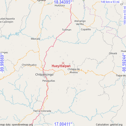
Hueyitlalpan GPS coordinates[2]
17° 40' 31.008" North, 99° 17' 44.016" West
| Map corner | latitude | longitude |
|---|---|---|
| Upper-left | 18.34395°, | -99.99869° |
| Center: | 17.67528°, | -99.29556° |
| Lower-right: | 17.00411°, | -98.59244° |
| Map W x H: | 149×149 km | = 92.6×92.6mi |
| max Lat: | 32.7° ⇑81.5% North |
| Hueyitlalpan: | 17.67528° |
| min Lat: | ⇓18.5% South 14.53588° |
| min Long | Hueyitlalpan | max Long |
| -117.105° | -99.29556° | -86.73105° |
| W 45.8%⇐ | ⇒54.2% E |
Elevation
Elevation of Hueyitlalpan is 1660 m = 5446 ft, and this is 406.3 m = 1333 ft above average elevation for this country.
| Max E: |
3497 m = 11473 ft | 43% |
| Hueyitlalpan | 1660 m 5446 ft | |
| Avg. | 1253.7 m = 4113 ft | |
Min E: |
-1 m = -3 ft | 57% |
See also: Mexico elevation on elevation.city.
Geographical zone
Hueyitlalpan is located in North Torrid zone (between Equator and Tropic of Cancer). Distance of this Northern Tropic circle is 640.6 km =398.1 mi to North.| Distance of | km | miles | from Hueyitlalpan |
|---|---|---|---|
| North Pole | 8041.8 | 4996.9 | to North |
| Arctic Circle | 5435.9 | 3377.7 | to North |
| Tropic Cancer | 640.6 | 398.1 | to North |
| Equator | 1965.3 | 1221.2 | to South |


Nearby cities:
15 places around Hueyitlalpan: (largest is in red/bold)
• Acatempa
8.3 km =5.2 mi,  244°
244°
• Ahuihuiyuco
8.8 km =5.5 mi,  125°
125°
• Almolonga
4.1 km =2.5 mi,  179°
179°
• Apango
8.1 km =5 mi,  334°
334°
• Atliaca
8.8 km =5.5 mi,  252°
252°
• Ayotzinapa
7.5 km =4.7 mi,  52°
52°
• La Esperanza
10.7 km =6.6 mi,  28°
28°
• Las Trancas
8.3 km =5.2 mi,  65°
65°
• Mazatepec
8.4 km =5.2 mi,  98°
98°
• Pochahuizco
7.8 km =4.8 mi, 98°
• Rancho de las Lomas
8.9 km =5.5 mi,  36°
36°
• Tepehuisco
9 km =5.6 mi,  148°
148°
• Tepozcuautla
9.3 km =5.8 mi, 129°
• Topiltepec
8.2 km =5.1 mi,  109°
109°
• Zotoltitlán
4.4 km =2.7 mi,  5°
5°
Sources, notices
• [Note1] Compared only with cities in Mexico existing in our database
• [Src1] Map data: © OpenStreetMap contributors (CC-BY-SA)
• [Src2] Other city data from geonames.org with taken over terms of usage.
• [Src3] Geographical zone / Annual Mean Temperature by Robert A. Rohde @ Wikipedia
