Rundu geodata
Rundu (Kavango East) is a seat of a first-order administrative division; located in Namibia in Africa/Windhoek (GMT+2) time zone. With population of 58,172 people, there is 1 city with bigger population in this country. Compared to other cities in Namibia, 77.3% of cities are located further ↓South; 95.5% of cities are located further ←West and 54.5% of cities have lower elevation than Rundu. Note1


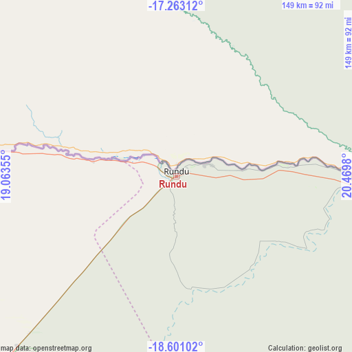
Rundu GPS coordinates[2]
17° 55' 59.988" South, 19° 46' 0.012" East
| Map corner | latitude | longitude |
|---|---|---|
| Upper-left | -17.26312°, | 19.06355° |
| Center: | -17.93333°, | 19.76667° |
| Lower-right: | -18.60102°, | 20.4698° |
| Map W x H: | 148.8×148.8 km | = 92.5×92.5mi |
| max Lat: | -17.4° ⇑22.7% North |
| Rundu: | -17.93333° |
| min Lat: | ⇓77.3% South -28.55° |
| min Long | Rundu | max Long |
| 13.83998° | 19.76667° | 24.26667° |
| W 95.5%⇐ | ⇒4.5% E |
Elevation
Elevation of Rundu is 1110 m = 3642 ft, and this is 82.2 m = 270 ft above average elevation for this country.
| Max E: |
1656 m = 5433 ft | 45.5% |
| Rundu | 1110 m 3642 ft | |
| Avg. | 1027.8 m = 3372 ft | |
Min E: |
1 m = 3 ft | 54.5% |
See also: Rundu elevation on elevation.city.
Geographical zone
Rundu is located in South Torrid zone (between Equator and Tropic of Capricorn). Distance of this Southern Tropic circle is 611.9 km =380.2 mi to South.| Distance of | km | miles | from Rundu |
|---|---|---|---|
| Equator | 1994 | 1239 | to North |
| Tropic Capricorn | 611.9 | 380.2 | to South |
| Antarctic Circle | 5407.2 | 3359.9 | to South |
| South Pole | 8013.1 | 4979.1 | to South |


Nearby cities:
10 places around Rundu: (largest is in red/bold)
• Bagani
196.6 km =122.2 mi,  95°
95°
• Eenhana
367.4 km =228.3 mi,  278°
278°
• Grootfontein
251.3 km =156.2 mi,  223°
223°
• Nkurenkuru
128.4 km =79.8 mi,  285°
285°
• Okakarara
383.1 km =238 mi, 219°
• Omuthiya
339.9 km =211.2 mi,  261°
261°
• Ondangwa
403.8 km =250.9 mi,  270°
270°
• Oshikango
415.7 km =258.3 mi, 278°
• Otavi
319.4 km =198.5 mi,  233°
233°
• Tsumeb
259.9 km =161.5 mi,  236°
236°
Sources, notices
• [Note1] Compared only with cities in Namibia existing in our database
• [Src1] Map data: © OpenStreetMap contributors (CC-BY-SA)
• [Src2] Other city data from geonames.org with taken over terms of usage.
• [Src3] Geographical zone / Annual Mean Temperature by Robert A. Rohde @ Wikipedia
