Oshikango geodata
Oshikango (Ohangwena) is a populated place; located in Namibia in Africa/Windhoek (GMT+2) time zone. With population of 2,658 people, there are 38 cities with bigger population in this country. Compared to other cities in Namibia, 100% of cities are located further ↓South; 68.2% of cities are located further →East and 56.8% of cities have lower elevation than Oshikango. Note1


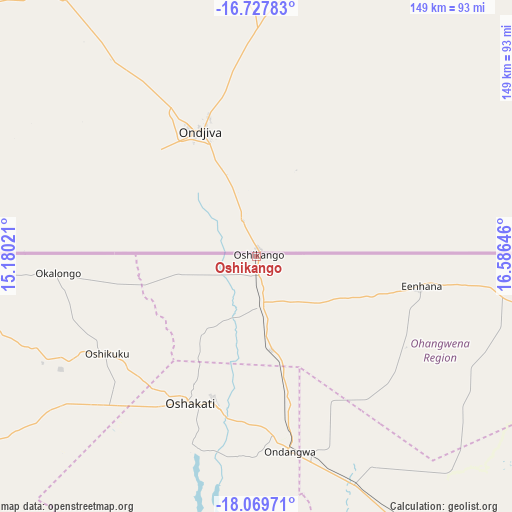
Oshikango GPS coordinates[2]
17° 24' 0" South, 15° 52' 59.988" East
| Map corner | latitude | longitude |
|---|---|---|
| Upper-left | -16.72783°, | 15.18021° |
| Center: | -17.4°, | 15.88333° |
| Lower-right: | -18.06971°, | 16.58646° |
| Map W x H: | 149.2×149.2 km | = 92.7×92.7mi |
| max Lat: | -17.4° ⇑0% North |
| Oshikango: | -17.4° |
| min Lat: | ⇓100% South -28.55° |
| min Long | Oshikango | max Long |
| 13.83998° | 15.88333° | 24.26667° |
| W 31.8%⇐ | ⇒68.2% E |
Elevation
Elevation of Oshikango is 1111 m = 3645 ft, and this is 83.2 m = 273 ft above average elevation for this country.
| Max E: |
1656 m = 5433 ft | 43.2% |
| Oshikango | 1111 m 3645 ft | |
| Avg. | 1027.8 m = 3372 ft | |
Min E: |
1 m = 3 ft | 56.8% |
See also: Namibia elevation on elevation.city.
Geographical zone
Oshikango is located in South Torrid zone (between Equator and Tropic of Capricorn). Distance of this Southern Tropic circle is 671.2 km =417.1 mi to South.| Distance of | km | miles | from Oshikango |
|---|---|---|---|
| Equator | 1934.7 | 1202.2 | to North |
| Tropic Capricorn | 671.2 | 417.1 | to South |
| Antarctic Circle | 5466.5 | 3396.7 | to South |
| South Pole | 8072.4 | 5016 | to South |


Nearby cities:
15 places around Oshikango: (largest is in red/bold)
• Eenhana
48.3 km =30 mi,  98°
98°
• Grootfontein
336.9 km =209.3 mi,  135°
135°
• Khorixas
343.7 km =213.6 mi,  196°
196°
• Nkurenkuru
289.1 km =179.6 mi,  94°
94°
• Okahao
102.1 km =63.4 mi,  237°
237°
• Omuthiya
130.2 km =80.9 mi,  145°
145°
• Ondangwa
57.9 km =36 mi,  172°
172°
• Ongandjera
101.9 km =63.3 mi, 238°
• Ongwediva
44.4 km =27.6 mi, 196°
• Opuwo
228.5 km =142 mi,  251°
251°
• Oshakati
47.2 km =29.3 mi, 203°
• Otavi
293.2 km =182.2 mi, 148°
• Outapi
96.1 km =59.7 mi,  263°
263°
• Outjo
303.4 km =188.5 mi, 174°
• Tsumeb
281.1 km =174.7 mi, 136°
Sources, notices
• [Note1] Compared only with cities in Namibia existing in our database
• [Src1] Map data: © OpenStreetMap contributors (CC-BY-SA)
• [Src2] Other city data from geonames.org with taken over terms of usage.
• [Src3] Geographical zone / Annual Mean Temperature by Robert A. Rohde @ Wikipedia
