Keetmanshoop geodata
Keetmanshoop (Karas) is a seat of a first-order administrative division; located in Namibia in Africa/Windhoek (GMT+2) time zone. With population of 15,608 people, there are 12 cities with bigger population in this country. Compared to other cities in Namibia, 90.9% of cities are located further ↑North; 81.8% of cities are located further ←West and 72.7% of cities have higher elevation than Keetmanshoop. Note1


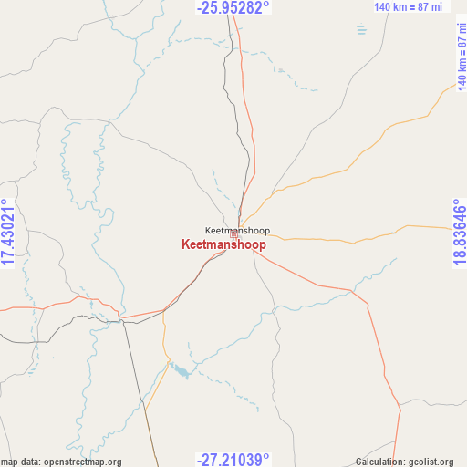
Keetmanshoop GPS coordinates[2]
26° 34' 59.988" South, 18° 7' 59.988" East
| Map corner | latitude | longitude |
|---|---|---|
| Upper-left | -25.95282°, | 17.43021° |
| Center: | -26.58333°, | 18.13333° |
| Lower-right: | -27.21039°, | 18.83646° |
| Map W x H: | 139.8×139.8 km | = 86.9×86.9mi |
| max Lat: | -17.4° ⇑90.9% North |
| Keetmanshoop: | -26.58333° |
| min Lat: | ⇓9.1% South -28.55° |
| min Long | Keetmanshoop | max Long |
| 13.83998° | 18.13333° | 24.26667° |
| W 81.8%⇐ | ⇒18.2% E |
Elevation
Elevation of Keetmanshoop is 981 m = 3219 ft, and this is 46.8 m = 154 ft below average elevation for this country.
| Max E: |
1656 m = 5433 ft | 72.7% |
| Avg. | 1027.8 m = 3372 ft | |
| Keetmanshoop | 981 m = 3219 ft | |
Min E: |
1 m = 3 ft | 27.3% |
See also: Namibia elevation on elevation.city.
Geographical zone
Keetmanshoop is located in South temperate zone (between Tropic of Capricorn and the Antarctic Circle). Distance of this Southern Tropic circle is 349.9 km =217.4 mi to North.| Distance of | km | miles | from Keetmanshoop |
|---|---|---|---|
| Equator | 2955.8 | 1836.6 | to North |
| Tropic Capricorn | 349.9 | 217.4 | to North |
| Antarctic Circle | 4445.4 | 2762.2 | to South |
| South Pole | 7051.3 | 4381.5 | to South |


Nearby cities:
11 places around Keetmanshoop: (largest is in red/bold)
• Aranos
289.8 km =180.1 mi,  19°
19°
• Bethanie
98.4 km =61.1 mi,  276°
276°
• Hoachanas
296.6 km =184.3 mi,  358°
358°
• Karasburg
170.6 km =106 mi,  159°
159°
• Lüderitz
296.3 km =184.1 mi,  268°
268°
• Maltahöhe
226.1 km =140.5 mi,  329°
329°
• Mariental
217.5 km =135.1 mi, 355°
• Oranjemund
275.5 km =171.2 mi,  217°
217°
• Rehoboth
378.1 km =234.9 mi,  343°
343°
• Tses
79 km =49.1 mi,  350°
350°
• Warmbad
215.8 km =134.1 mi, 164°
Sources, notices
• [Note1] Compared only with cities in Namibia existing in our database
• [Src1] Map data: © OpenStreetMap contributors (CC-BY-SA)
• [Src2] Other city data from geonames.org with taken over terms of usage.
• [Src3] Geographical zone / Annual Mean Temperature by Robert A. Rohde @ Wikipedia
