Bethanie geodata
Bethanie (Karas) is a populated place; located in Namibia in Africa/Windhoek (GMT+2) time zone. With population of 10,363 people, there are 18 cities with bigger population in this country. Compared to other cities in Namibia, 88.6% of cities are located further ↑North; 63.6% of cities are located further ←West and 70.5% of cities have higher elevation than Bethanie. Note1


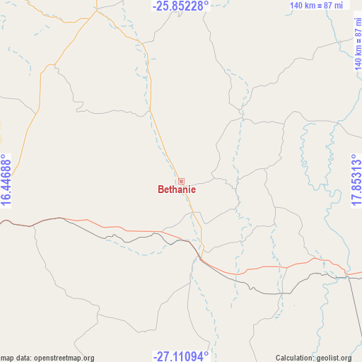
Bethanie GPS coordinates[2]
26° 28' 59.988" South, 17° 9' 0" East
| Map corner | latitude | longitude |
|---|---|---|
| Upper-left | -25.85228°, | 16.44688° |
| Center: | -26.48333°, | 17.15° |
| Lower-right: | -27.11094°, | 17.85313° |
| Map W x H: | 139.9×140 km | = 86.9×87mi |
| max Lat: | -17.4° ⇑88.6% North |
| Bethanie: | -26.48333° |
| min Lat: | ⇓11.4% South -28.55° |
| min Long | Bethanie | max Long |
| 13.83998° | 17.15° | 24.26667° |
| W 63.6%⇐ | ⇒36.4% E |
Elevation
Elevation of Bethanie is 1005 m = 3297 ft, and this is 22.8 m = 75 ft below average elevation for this country.
| Max E: |
1656 m = 5433 ft | 70.5% |
| Avg. | 1027.8 m = 3372 ft | |
| Bethanie | 1005 m = 3297 ft | |
Min E: |
1 m = 3 ft | 29.5% |
See also: Namibia elevation on elevation.city.
Geographical zone
Bethanie is located in South temperate zone (between Tropic of Capricorn and the Antarctic Circle). Distance of this Southern Tropic circle is 338.8 km =210.5 mi to North.| Distance of | km | miles | from Bethanie |
|---|---|---|---|
| Equator | 2944.7 | 1829.8 | to North |
| Tropic Capricorn | 338.8 | 210.5 | to North |
| Antarctic Circle | 4456.5 | 2769.1 | to South |
| South Pole | 7062.4 | 4388.4 | to South |


Nearby cities:
13 places around Bethanie: (largest is in red/bold)
• Aranos
327.6 km =203.6 mi,  37°
37°
• Hoachanas
299.4 km =186 mi,  17°
17°
• Karasburg
232.5 km =144.5 mi,  137°
137°
• Katutura
440.4 km =273.7 mi,  358°
358°
• Keetmanshoop
98.4 km =61.1 mi,  96°
96°
• Lüderitz
199.4 km =123.9 mi,  264°
264°
• Maltahöhe
184.2 km =114.5 mi,  354°
354°
• Mariental
221.4 km =137.6 mi, 21°
• Oranjemund
240.4 km =149.4 mi,  197°
197°
• Rehoboth
352.1 km =218.8 mi, 359°
• Tses
107.9 km =67 mi,  51°
51°
• Warmbad
268.7 km =167 mi, 144°
• Windhoek
436.4 km =271.2 mi, 359°
Sources, notices
• [Note1] Compared only with cities in Namibia existing in our database
• [Src1] Map data: © OpenStreetMap contributors (CC-BY-SA)
• [Src2] Other city data from geonames.org with taken over terms of usage.
• [Src3] Geographical zone / Annual Mean Temperature by Robert A. Rohde @ Wikipedia
