Ayorou geodata
Ayorou (Tillabéri) is a populated place; located in Niger in Africa/Niamey (GMT+1) time zone. With population of 26,290 people, there are 12 cities with bigger population in this country. Compared to other cities in Niger, 76.7% of cities are located further ↓South; 97.7% of cities are located further →East and 79.1% of cities have higher elevation than Ayorou. Note1


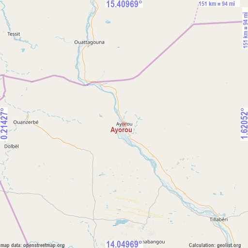
Ayorou GPS coordinates[2]
14° 43' 50.7" North, 0° 55' 2.604" East
| Map corner | latitude | longitude |
|---|---|---|
| Upper-left | 15.40969°, | 0.21427° |
| Center: | 14.73075°, | 0.91739° |
| Lower-right: | 14.04969°, | 1.62052° |
| Map W x H: | 151.2×151.2 km | = 94×94mi |
| max Lat: | 18.73694° ⇑23.3% North |
| Ayorou: | 14.73075° |
| min Lat: | ⇓76.7% South 11.88435° |
| min Long | Ayorou | max Long |
| 0.75306° | 0.91739° | 13.10921° |
| W 2.3%⇐ | ⇒97.7% E |
Elevation
Elevation of Ayorou is 226 m = 741 ft, and this is 116.8 m = 383 ft below average elevation for this country.
| Max E: |
525 m = 1722 ft | 79.1% |
| Avg. | 342.8 m = 1125 ft | |
| Ayorou | 226 m = 741 ft | |
Min E: |
177 m = 581 ft | 20.9% |
See also: Niger elevation on elevation.city.
Geographical zone
Ayorou is located in North Torrid zone (between Equator and Tropic of Cancer). Distance of this Northern Tropic circle is 968 km =601.5 mi to North.| Distance of | km | miles | from Ayorou |
|---|---|---|---|
| North Pole | 8369.2 | 5200.4 | to North |
| Arctic Circle | 5763.3 | 3581.1 | to North |
| Tropic Cancer | 968 | 601.5 | to North |
| Equator | 1637.9 | 1017.7 | to South |


Nearby cities:
12 places around Ayorou: (largest is in red/bold)
• Birnin Gaouré
282.7 km =175.7 mi,  130°
130°
• Dogondoutchi
356.4 km =221.5 mi,  109°
109°
• Dosso
308.8 km =191.9 mi, 127°
• Filingué
261.7 km =162.6 mi,  99°
99°
• Gaya
418.6 km =260.1 mi,  139°
139°
• Kollo
220.6 km =137.1 mi, 135°
• Loga
279.1 km =173.4 mi,  116°
116°
• Niamey
186.7 km =116 mi, 136°
• Ouallam
134 km =83.3 mi, 110°
• Say
239.6 km =148.9 mi, 139°
• Tillabéri
82 km =51 mi, 135°
• Téra
82.3 km =51.1 mi,  192°
192°
Sources, notices
• [Note1] Compared only with cities in Niger existing in our database
• [Src1] Map data: © OpenStreetMap contributors (CC-BY-SA)
• [Src2] Other city data from geonames.org with taken over terms of usage.
• [Src3] Geographical zone / Annual Mean Temperature by Robert A. Rohde @ Wikipedia
