Ouallam geodata
Ouallam (Tillabéri) is a seat of a second-order administrative division; located in Niger in Africa/Niamey (GMT+1) time zone. With population of 7,500 people, there are 35 cities with bigger population in this country. Compared to other cities in Niger, 65.1% of cities are located further ↓South; 93% of cities are located further →East and 74.4% of cities have higher elevation than Ouallam. Note1


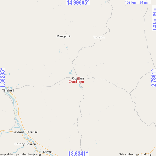
Ouallam GPS coordinates[2]
14° 18' 59.076" North, 2° 5' 9.492" East
| Map corner | latitude | longitude |
|---|---|---|
| Upper-left | 14.99665°, | 1.38285° |
| Center: | 14.31641°, | 2.08597° |
| Lower-right: | 13.6341°, | 2.7891° |
| Map W x H: | 151.5×151.5 km | = 94.1×94.1mi |
| max Lat: | 18.73694° ⇑34.9% North |
| Ouallam: | 14.31641° |
| min Lat: | ⇓65.1% South 11.88435° |
| min Long | Ouallam | max Long |
| 0.75306° | 2.08597° | 13.10921° |
| W 7%⇐ | ⇒93% E |
Elevation
Elevation of Ouallam is 235 m = 771 ft, and this is 107.8 m = 354 ft below average elevation for this country.
| Max E: |
525 m = 1722 ft | 74.4% |
| Avg. | 342.8 m = 1125 ft | |
| Ouallam | 235 m = 771 ft | |
Min E: |
177 m = 581 ft | 25.6% |
See also: Niger elevation on elevation.city.
Geographical zone
Ouallam is located in North Torrid zone (between Equator and Tropic of Cancer). Distance of this Northern Tropic circle is 1014.1 km =630.1 mi to North.| Distance of | km | miles | from Ouallam |
|---|---|---|---|
| North Pole | 8415.2 | 5229 | to North |
| Arctic Circle | 5809.3 | 3609.7 | to North |
| Tropic Cancer | 1014.1 | 630.1 | to North |
| Equator | 1591.8 | 989.1 | to South |


Nearby cities:
15 places around Ouallam: (largest is in red/bold)
• Ayorou
134 km =83.3 mi,  290°
290°
• Birni N Konni
346.2 km =215.1 mi,  99°
99°
• Birnin Gaouré
163.7 km =101.7 mi,  147°
147°
• Dogondoutchi
222.5 km =138.3 mi,  109°
109°
• Dosso
184.9 km =114.9 mi,  139°
139°
• Filingué
132.7 km =82.5 mi,  88°
88°
• Gaya
308.1 km =191.4 mi, 151°
• Illéla
340.5 km =211.6 mi, 87°
• Kollo
115.8 km =72 mi,  166°
166°
• Loga
146.7 km =91.2 mi,  122°
122°
• Niamey
89.3 km =55.5 mi,  178°
178°
• Say
138.6 km =86.1 mi, 167°
• Tahoua
348.4 km =216.5 mi,  79°
79°
• Tillabéri
69.2 km =43 mi,  259°
259°
• Téra
147.7 km =91.8 mi, 256°
Sources, notices
• [Note1] Compared only with cities in Niger existing in our database
• [Src1] Map data: © OpenStreetMap contributors (CC-BY-SA)
• [Src2] Other city data from geonames.org with taken over terms of usage.
• [Src3] Geographical zone / Annual Mean Temperature by Robert A. Rohde @ Wikipedia
