Wushishi geodata
Wushishi (Niger) is a seat of a second-order administrative division; located in Nigeria in Africa/Lagos (GMT+1) time zone. In our database, there are 451 cities with bigger population. Compared to other cities in Nigeria, 61.7% of cities are located further ↓South; 69.8% of cities are located further →East and 75.1% of cities have higher elevation than Wushishi. Note1


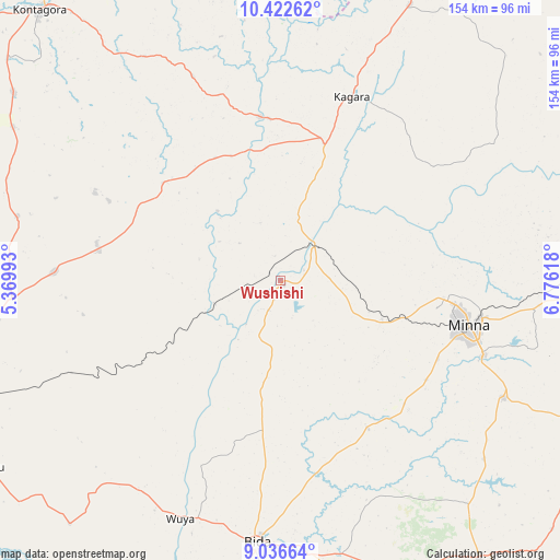
Wushishi GPS coordinates[2]
9° 43' 49.26" North, 6° 4' 22.98" East
| Map corner | latitude | longitude |
|---|---|---|
| Upper-left | 10.42262°, | 5.36993° |
| Center: | 9.73035°, | 6.07305° |
| Lower-right: | 9.03664°, | 6.77618° |
| Map W x H: | 154.1×154.1 km | = 95.8×95.8mi |
| max Lat: | 13.7543° ⇑38.3% North |
| Wushishi: | 9.73035° |
| min Lat: | ⇓61.7% South 4.31231° |
| min Long | Wushishi | max Long |
| 2.73333° | 6.07305° | 14.46552° |
| W 30.2%⇐ | ⇒69.8% E |
Elevation
Elevation of Wushishi is 119 m = 390 ft, and this is 177.5 m = 582 ft below average elevation for this country.
| Max E: |
1599 m = 5246 ft | 75.1% |
| Avg. | 296.5 m = 973 ft | |
| Wushishi | 119 m = 390 ft | |
Min E: |
2 m = 7 ft | 24.9% |
See also: Nigeria elevation on elevation.city.
Geographical zone
Wushishi is located in North Torrid zone (between Equator and Tropic of Cancer). Distance of Equator is 1081.9 km =672.3 mi to South.| Distance of | km | miles | from Wushishi |
|---|---|---|---|
| North Pole | 8925.1 | 5545.8 | to North |
| Arctic Circle | 6319.3 | 3926.6 | to North |
| Tropic Cancer | 1524 | 947 | to North |
| Equator | 1081.9 | 672.3 | to South |


Nearby cities:
15 places around Wushishi: (largest is in red/bold)
• Agaie
84.6 km =52.6 mi,  161°
161°
• Badeggi
75.3 km =46.8 mi,  174°
174°
• Bida
72.6 km =45.1 mi,  185°
185°
• Enagi
88.7 km =55.1 mi,  220°
220°
• Kagara
54.5 km =33.9 mi,  21°
21°
• Kuta
71.5 km =44.4 mi,  77°
77°
• Kutigi
78.8 km =49 mi, 221°
• Lapai
93.8 km =58.3 mi,  144°
144°
• Lemu
37.5 km =23.3 mi, 187°
• Maikunkele
44.8 km =27.8 mi,  96°
96°
• Mashegu
42 km =26.1 mi,  309°
309°
• Minna
53.6 km =33.3 mi, 103°
• Paiko
69.6 km =43.2 mi,  117°
117°
• Tegina
40 km =24.9 mi, 18°
• Zungeru
12.2 km =7.6 mi,  45°
45°
Sources, notices
• [Note1] Compared only with cities in Nigeria existing in our database
• [Src1] Map data: © OpenStreetMap contributors (CC-BY-SA)
• [Src2] Other city data from geonames.org with taken over terms of usage.
• [Src3] Geographical zone / Annual Mean Temperature by Robert A. Rohde @ Wikipedia
