Ugep geodata
Ugep (Cross River) is a seat of a second-order administrative division; located in Nigeria in Africa/Lagos (GMT+1) time zone. With population of 200,276 people, there are 45 cities with bigger population in this country. Compared to other cities in Nigeria, 86.1% of cities are located further ↑North; 65.1% of cities are located further ←West and 76.9% of cities have higher elevation than Ugep. Note1


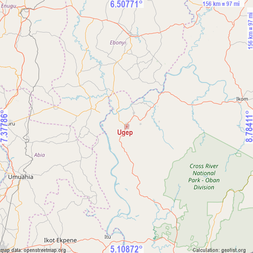
Ugep GPS coordinates[2]
5° 48' 31.14" North, 8° 4' 51.528" East
| Map corner | latitude | longitude |
|---|---|---|
| Upper-left | 6.50771°, | 7.37786° |
| Center: | 5.80865°, | 8.08098° |
| Lower-right: | 5.10872°, | 8.78411° |
| Map W x H: | 155.6×155.6 km | = 96.7×96.7mi |
| max Lat: | 13.7543° ⇑86.1% North |
| Ugep: | 5.80865° |
| min Lat: | ⇓13.9% South 4.31231° |
| min Long | Ugep | max Long |
| 2.73333° | 8.08098° | 14.46552° |
| W 65.1%⇐ | ⇒34.9% E |
Elevation
Elevation of Ugep is 101 m = 331 ft, and this is 195.5 m = 641 ft below average elevation for this country.
| Max E: |
1599 m = 5246 ft | 76.9% |
| Avg. | 296.5 m = 973 ft | |
| Ugep | 101 m = 331 ft | |
Min E: |
2 m = 7 ft | 23.1% |
See also: Ugep elevation on elevation.city.
Geographical zone
Ugep is located in North Torrid zone (between Equator and Tropic of Cancer). Distance of Equator is 645.9 km =401.3 mi to South.| Distance of | km | miles | from Ugep |
|---|---|---|---|
| North Pole | 9361.2 | 5816.8 | to North |
| Arctic Circle | 6755.3 | 4197.5 | to North |
| Tropic Cancer | 1960.1 | 1217.9 | to North |
| Equator | 645.9 | 401.3 | to South |


Nearby cities:
15 places around Ugep: (largest is in red/bold)
• Afikpo
18.6 km =11.6 mi,  300°
300°
• Ake-Eze
46.4 km =28.8 mi,  285°
285°
• Akpet Central
21 km =13 mi,  173°
173°
• Amaigbo
26.9 km =16.7 mi,  265°
265°
• Arochukwu
50.2 km =31.2 mi,  201°
201°
• Bende
56.8 km =35.3 mi,  240°
240°
• Ebem Ohafia
34 km =21.1 mi,  234°
234°
• Isu
49 km =30.4 mi,  320°
320°
• Itigidi
11.3 km =7 mi, 324°
• Nguzu Edda
29.8 km =18.5 mi,  258°
258°
• Obiozara
43.1 km =26.8 mi,  307°
307°
• Obubra
40.8 km =25.4 mi,  43°
43°
• Ohafia-Ifigh
36.8 km =22.9 mi, 234°
• Onuebonyi Echara
32.8 km =20.4 mi,  13°
13°
• Onueke
38.9 km =24.2 mi,  352°
352°
Sources, notices
• [Note1] Compared only with cities in Nigeria existing in our database
• [Src1] Map data: © OpenStreetMap contributors (CC-BY-SA)
• [Src2] Other city data from geonames.org with taken over terms of usage.
• [Src3] Geographical zone / Annual Mean Temperature by Robert A. Rohde @ Wikipedia
