Shanga geodata
Shanga (Kebbi) is a seat of a second-order administrative division; located in Nigeria in Africa/Lagos (GMT+1) time zone. With population of 7,471 people, there are 400 cities with bigger population in this country. Compared to other cities in Nigeria, 74% of cities are located further ↓South; 86.7% of cities are located further →East and 66.5% of cities have higher elevation than Shanga. Note1


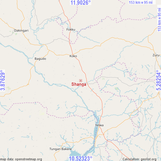
Shanga GPS coordinates[2]
11° 12' 49.464" North, 4° 34' 45.876" East
| Map corner | latitude | longitude |
|---|---|---|
| Upper-left | 11.9026°, | 3.87629° |
| Center: | 11.21374°, | 4.57941° |
| Lower-right: | 10.52323°, | 5.28254° |
| Map W x H: | 153.4×153.4 km | = 95.3×95.3mi |
| max Lat: | 13.7543° ⇑26% North |
| Shanga: | 11.21374° |
| min Lat: | ⇓74% South 4.31231° |
| min Long | Shanga | max Long |
| 2.73333° | 4.57941° | 14.46552° |
| W 13.3%⇐ | ⇒86.7% E |
Elevation
Elevation of Shanga is 167 m = 548 ft, and this is 129.5 m = 425 ft below average elevation for this country.
| Max E: |
1599 m = 5246 ft | 66.5% |
| Avg. | 296.5 m = 973 ft | |
| Shanga | 167 m = 548 ft | |
Min E: |
2 m = 7 ft | 33.5% |
See also: Nigeria elevation on elevation.city.
Geographical zone
Shanga is located in North Torrid zone (between Equator and Tropic of Cancer). Distance of Equator is 1246.9 km =774.8 mi to South.| Distance of | km | miles | from Shanga |
|---|---|---|---|
| North Pole | 8760.2 | 5443.3 | to North |
| Arctic Circle | 6154.3 | 3824.1 | to North |
| Tropic Cancer | 1359.1 | 844.5 | to North |
| Equator | 1246.9 | 774.8 | to South |


Nearby cities:
15 places around Shanga: (largest is in red/bold)
• Agwara
56.4 km =35 mi,  179°
179°
• Bagudo
44 km =27.3 mi,  298°
298°
• Besse
17.2 km =10.7 mi,  290°
290°
• Bin Yauri
54.2 km =33.7 mi,  152°
152°
• Dabai
74.3 km =46.2 mi,  66°
66°
• Dakingari
74.3 km =46.2 mi,  310°
310°
• Duku
35.8 km =22.2 mi,  86°
86°
• Kende
48.7 km =30.3 mi, 314°
• Konkwesso
66.5 km =41.3 mi,  232°
232°
• Mahuta
57.8 km =35.9 mi,  49°
49°
• Nasko
87.2 km =54.2 mi,  156°
156°
• New Shagunnu
97.9 km =60.8 mi,  187°
187°
• Rijau
74.8 km =46.5 mi,  99°
99°
• Yelwa
45.7 km =28.4 mi, 157°
• Zuru
75.6 km =47 mi, 70°
Sources, notices
• [Note1] Compared only with cities in Nigeria existing in our database
• [Src1] Map data: © OpenStreetMap contributors (CC-BY-SA)
• [Src2] Other city data from geonames.org with taken over terms of usage.
• [Src3] Geographical zone / Annual Mean Temperature by Robert A. Rohde @ Wikipedia
