Kende geodata
Kende (Kebbi) is a populated place; located in Nigeria in Africa/Lagos (GMT+1) time zone. With population of 7,395 people, there are 403 cities with bigger population in this country. Compared to other cities in Nigeria, 77.8% of cities are located further ↓South; 89.6% of cities are located further →East and 67.6% of cities have higher elevation than Kende. Note1


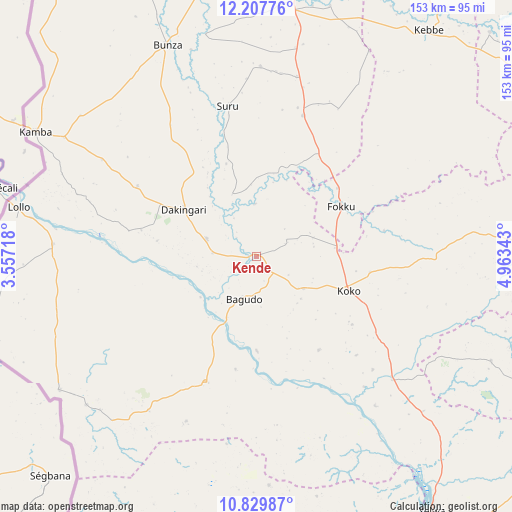
Kende GPS coordinates[2]
11° 31' 10.776" North, 4° 15' 37.08" East
| Map corner | latitude | longitude |
|---|---|---|
| Upper-left | 12.20776°, | 3.55718° |
| Center: | 11.51966°, | 4.2603° |
| Lower-right: | 10.82987°, | 4.96343° |
| Map W x H: | 153.2×153.2 km | = 95.2×95.2mi |
| max Lat: | 13.7543° ⇑22.2% North |
| Kende: | 11.51966° |
| min Lat: | ⇓77.8% South 4.31231° |
| min Long | Kende | max Long |
| 2.73333° | 4.2603° | 14.46552° |
| W 10.4%⇐ | ⇒89.6% E |
Elevation
Elevation of Kende is 159 m = 522 ft, and this is 137.5 m = 451 ft below average elevation for this country.
| Max E: |
1599 m = 5246 ft | 67.6% |
| Avg. | 296.5 m = 973 ft | |
| Kende | 159 m = 522 ft | |
Min E: |
2 m = 7 ft | 32.4% |
See also: Nigeria elevation on elevation.city.
Geographical zone
Kende is located in North Torrid zone (between Equator and Tropic of Cancer). Distance of Equator is 1280.9 km =795.9 mi to South.| Distance of | km | miles | from Kende |
|---|---|---|---|
| North Pole | 8726.2 | 5422.2 | to North |
| Arctic Circle | 6120.3 | 3803 | to North |
| Tropic Cancer | 1325.1 | 823.4 | to North |
| Equator | 1280.9 | 795.9 | to South |


Nearby cities:
15 places around Kende: (largest is in red/bold)
• Aliero
88.5 km =55 mi,  15°
15°
• Bagudo
13.5 km =8.4 mi,  196°
196°
• Besse
33.7 km =20.9 mi,  146°
146°
• Bunza
68.6 km =42.6 mi,  337°
337°
• Dakingari
25.9 km =16.1 mi,  303°
303°
• Duku
77.2 km =48 mi,  114°
114°
• Jega
79.3 km =49.3 mi,  9°
9°
• Kalgo
90 km =55.9 mi,  355°
355°
• Kamba
75.6 km =47 mi, 299°
• Kebbe
85.1 km =52.9 mi,  37°
37°
• Konkwesso
76.9 km =47.8 mi,  193°
193°
• Mahuta
78.6 km =48.8 mi,  87°
87°
• Maiyama
63.7 km =39.6 mi, 10°
• Shanga
48.7 km =30.3 mi,  134°
134°
• Yelwa
92.5 km =57.5 mi, 145°
Sources, notices
• [Note1] Compared only with cities in Nigeria existing in our database
• [Src1] Map data: © OpenStreetMap contributors (CC-BY-SA)
• [Src2] Other city data from geonames.org with taken over terms of usage.
• [Src3] Geographical zone / Annual Mean Temperature by Robert A. Rohde @ Wikipedia
