Jajimaji geodata
Jajimaji (Yobe) is a seat of a second-order administrative division; located in Nigeria in Africa/Lagos (GMT+1) time zone. In our database, there are 451 cities with bigger population. Compared to other cities in Nigeria, 96.2% of cities are located further ↓South; 88.6% of cities are located further ←West and 59.6% of cities have lower elevation than Jajimaji. Note1


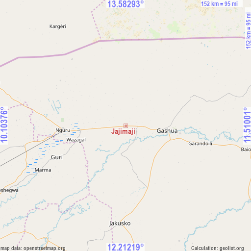
Jajimaji GPS coordinates[2]
12° 53' 54.6" North, 10° 48' 24.768" East
| Map corner | latitude | longitude |
|---|---|---|
| Upper-left | 13.58293°, | 10.10376° |
| Center: | 12.8985°, | 10.80688° |
| Lower-right: | 12.21219°, | 11.51001° |
| Map W x H: | 152.4×152.4 km | = 94.7×94.7mi |
| max Lat: | 13.7543° ⇑3.8% North |
| Jajimaji: | 12.8985° |
| min Lat: | ⇓96.2% South 4.31231° |
| min Long | Jajimaji | max Long |
| 2.73333° | 10.80688° | 14.46552° |
| W 88.6%⇐ | ⇒11.4% E |
Elevation
Elevation of Jajimaji is 342 m = 1122 ft, and this is 45.5 m = 149 ft above average elevation for this country.
| Max E: |
1599 m = 5246 ft | 40.4% |
| Jajimaji | 342 m 1122 ft | |
| Avg. | 296.5 m = 973 ft | |
Min E: |
2 m = 7 ft | 59.6% |
See also: Nigeria elevation on elevation.city.
Geographical zone
Jajimaji is located in North Torrid zone (between Equator and Tropic of Cancer). Distance of this Northern Tropic circle is 1171.7 km =728.1 mi to North.| Distance of | km | miles | from Jajimaji |
|---|---|---|---|
| North Pole | 8572.9 | 5327 | to North |
| Arctic Circle | 5967 | 3707.7 | to North |
| Tropic Cancer | 1171.7 | 728.1 | to North |
| Equator | 1434.2 | 891.2 | to South |


Nearby cities:
15 places around Jajimaji: (largest is in red/bold)
• Birniwa
63 km =39.1 mi,  259°
259°
• Dapchi
87.5 km =54.4 mi,  120°
120°
• Gamawa
89.9 km =55.9 mi,  198°
198°
• Gashua
25.5 km =15.8 mi,  96°
96°
• Gorgoram
30.9 km =19.2 mi, 201°
• Guri
46 km =28.6 mi,  245°
245°
• Gwio Kura
37.6 km =23.4 mi,  131°
131°
• Hadejia
96.7 km =60.1 mi,  239°
239°
• Jakusko
58.8 km =36.5 mi,  183°
183°
• Katagum
84.3 km =52.4 mi,  215°
215°
• Kiri Kasamma
64.1 km =39.8 mi, 249°
• Kumagunnam
34.1 km =21.2 mi,  326°
326°
• Machina
86.2 km =53.6 mi,  287°
287°
• Mallammaduri
99.4 km =61.8 mi, 248°
• Nguru
38.2 km =23.7 mi,  266°
266°
Sources, notices
• [Note1] Compared only with cities in Nigeria existing in our database
• [Src1] Map data: © OpenStreetMap contributors (CC-BY-SA)
• [Src2] Other city data from geonames.org with taken over terms of usage.
• [Src3] Geographical zone / Annual Mean Temperature by Robert A. Rohde @ Wikipedia
