Idi-Ayunre geodata
Idi-Ayunre (Oyo) is a seat of a second-order administrative division; located in Nigeria in Africa/Lagos (GMT+1) time zone. In our database, there are 451 cities with bigger population. Compared to other cities in Nigeria, 65.5% of cities are located further ↑North; 93.5% of cities are located further →East and 74.3% of cities have higher elevation than Idi-Ayunre. Note1


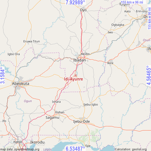
Idi-Ayunre GPS coordinates[2]
7° 13' 58.512" North, 3° 51' 41.472" East
| Map corner | latitude | longitude |
|---|---|---|
| Upper-left | 7.92989°, | 3.1584° |
| Center: | 7.23292°, | 3.86152° |
| Lower-right: | 6.53487°, | 4.56465° |
| Map W x H: | 155.1×155.1 km | = 96.4×96.4mi |
| max Lat: | 13.7543° ⇑65.5% North |
| Idi-Ayunre: | 7.23292° |
| min Lat: | ⇓34.5% South 4.31231° |
| min Long | Idi-Ayunre | max Long |
| 2.73333° | 3.86152° | 14.46552° |
| W 6.5%⇐ | ⇒93.5% E |
Elevation
Elevation of Idi-Ayunre is 125 m = 410 ft, and this is 171.5 m = 563 ft below average elevation for this country.
| Max E: |
1599 m = 5246 ft | 74.3% |
| Avg. | 296.5 m = 973 ft | |
| Idi-Ayunre | 125 m = 410 ft | |
Min E: |
2 m = 7 ft | 25.7% |
See also: Nigeria elevation on elevation.city.
Geographical zone
Idi-Ayunre is located in North Torrid zone (between Equator and Tropic of Cancer). Distance of Equator is 804.2 km =499.7 mi to South.| Distance of | km | miles | from Idi-Ayunre |
|---|---|---|---|
| North Pole | 9202.8 | 5718.4 | to North |
| Arctic Circle | 6596.9 | 4099.1 | to North |
| Tropic Cancer | 1801.7 | 1119.5 | to North |
| Equator | 804.2 | 499.7 | to South |


Nearby cities:
15 places around Idi-Ayunre: (largest is in red/bold)
• Akanran
18.9 km =11.7 mi,  73°
73°
• Apomu
37.9 km =23.5 mi, 69°
• Atan
40.9 km =25.4 mi,  156°
156°
• Egbeda
26.2 km =16.3 mi,  52°
52°
• Ibadan
16.8 km =10.4 mi,  16°
16°
• Ido
28.9 km =18 mi,  336°
336°
• Ijebu-Igbo
32.8 km =20.4 mi,  152°
152°
• Ikenne
43.9 km =27.3 mi,  201°
201°
• Ikire
38.9 km =24.2 mi, 66°
• Iperu
41.9 km =26 mi,  211°
211°
• Isara
33.2 km =20.6 mi,  216°
216°
• Iyana-Ofa
38.2 km =23.7 mi,  39°
39°
• Lalupon
34.5 km =21.4 mi, 40°
• Moniya
33.3 km =20.7 mi,  9°
9°
• Odeda
36.8 km =22.9 mi,  269°
269°
Sources, notices
• [Note1] Compared only with cities in Nigeria existing in our database
• [Src1] Map data: © OpenStreetMap contributors (CC-BY-SA)
• [Src2] Other city data from geonames.org with taken over terms of usage.
• [Src3] Geographical zone / Annual Mean Temperature by Robert A. Rohde @ Wikipedia
