Prinzapolka geodata
Prinzapolka (North Caribbean Coast) is a seat of a second-order administrative division; located in Nicaragua in America/Managua (GMT-6) time zone. With population of 394 people, there are 135 cities with bigger population in this country. Compared to other cities in Nicaragua, 83.2% of cities are located further ↓South; 98.8% of cities are located further ←West and 99.4% of cities have higher elevation than Prinzapolka. Note1


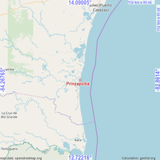
Prinzapolka GPS coordinates[2]
13° 24' 25.488" North, 83° 33' 52.272" West
| Map corner | latitude | longitude |
|---|---|---|
| Upper-left | 14.09005°, | -84.26765° |
| Center: | 13.40708°, | -83.56452° |
| Lower-right: | 12.72216°, | -82.8614° |
| Map W x H: | 152.1×152.1 km | = 94.5×94.5mi |
| max Lat: | 14.74189° ⇑16.8% North |
| Prinzapolka: | 13.40708° |
| min Lat: | ⇓83.2% South 10.94684° |
| min Long | Prinzapolka | max Long |
| -87.4516° | -83.56452° | -83.06145° |
| W 98.8%⇐ | ⇒1.2% E |
Elevation
Elevation of Prinzapolka is 4 m = 13 ft, and this is 333.2 m = 1093 ft below average elevation for this country.
| Max E: |
1288 m = 4226 ft | 99.4% |
| Avg. | 337.2 m = 1106 ft | |
| Prinzapolka | 4 m = 13 ft | |
Min E: |
1 m = 3 ft | 0.6% |
See also: Nicaragua elevation on elevation.city.
Geographical zone
Prinzapolka is located in North Torrid zone (between Equator and Tropic of Cancer). Distance of this Northern Tropic circle is 1115.2 km =693 mi to North.| Distance of | km | miles | from Prinzapolka |
|---|---|---|---|
| North Pole | 8516.3 | 5291.8 | to North |
| Arctic Circle | 5910.4 | 3672.6 | to North |
| Tropic Cancer | 1115.2 | 693 | to North |
| Equator | 1490.7 | 926.3 | to South |


Nearby cities:
15 places around Prinzapolka: (largest is in red/bold)
• Bluefields
156.4 km =97.2 mi,  187°
187°
• Bonanza
130.7 km =81.2 mi,  301°
301°
• Corn Island
147.4 km =91.6 mi,  158°
158°
• El Ayote
169 km =105 mi,  233°
233°
• El Rama
155.8 km =96.8 mi,  207°
207°
• El Tortuguero
94.4 km =58.7 mi, 226°
• Karawala
53 km =32.9 mi,  181°
181°
• Kukrahill
131.1 km =81.5 mi, 188°
• La Cruz de Río Grande
74.8 km =46.5 mi,  244°
244°
• Laguna de Perlas
118.9 km =73.9 mi, 185°
• Muelle de los Bueyes
182.2 km =113.2 mi,  215°
215°
• Mulukukú
152.7 km =94.9 mi,  260°
260°
• Puerto Cabezas
72.4 km =45 mi,  15°
15°
• Siuna
136 km =84.5 mi,  285°
285°
• Waspán
154.8 km =96.2 mi,  343°
343°
Sources, notices
• [Note1] Compared only with cities in Nicaragua existing in our database
• [Src1] Map data: © OpenStreetMap contributors (CC-BY-SA)
• [Src2] Other city data from geonames.org with taken over terms of usage.
• [Src3] Geographical zone / Annual Mean Temperature by Robert A. Rohde @ Wikipedia
