El Sauce geodata
El Sauce (León) is a seat of a second-order administrative division; located in Nicaragua in America/Managua (GMT-6) time zone. With population of 11,898 people, there are 41 cities with bigger population in this country. Compared to other cities in Nicaragua, 62.3% of cities are located further ↓South; 81.4% of cities are located further →East and 58.7% of cities have higher elevation than El Sauce. Note1


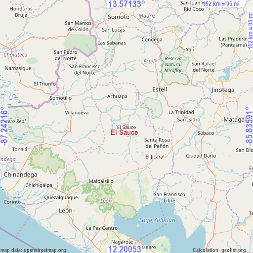
El Sauce GPS coordinates[2]
12° 53' 12.732" North, 86° 32' 20.508" West
| Map corner | latitude | longitude |
|---|---|---|
| Upper-left | 13.57133°, | -87.24216° |
| Center: | 12.88687°, | -86.53903° |
| Lower-right: | 12.20053°, | -85.83591° |
| Map W x H: | 152.4×152.4 km | = 94.7×94.7mi |
| max Lat: | 14.74189° ⇑37.7% North |
| El Sauce: | 12.88687° |
| min Lat: | ⇓62.3% South 10.94684° |
| min Long | El Sauce | max Long |
| -87.4516° | -86.53903° | -83.06145° |
| W 18.6%⇐ | ⇒81.4% E |
Elevation
Elevation of El Sauce is 173 m = 568 ft, and this is 164.2 m = 539 ft below average elevation for this country.
| Max E: |
1288 m = 4226 ft | 58.7% |
| Avg. | 337.2 m = 1106 ft | |
| El Sauce | 173 m = 568 ft | |
Min E: |
1 m = 3 ft | 41.3% |
See also: Nicaragua elevation on elevation.city.
Geographical zone
El Sauce is located in North Torrid zone (between Equator and Tropic of Cancer). Distance of this Northern Tropic circle is 1173 km =728.9 mi to North.| Distance of | km | miles | from El Sauce |
|---|---|---|---|
| North Pole | 8574.2 | 5327.8 | to North |
| Arctic Circle | 5968.3 | 3708.5 | to North |
| Tropic Cancer | 1173 | 728.9 | to North |
| Equator | 1432.9 | 890.4 | to South |


Nearby cities:
15 places around El Sauce: (largest is in red/bold)
• Achuapa
19.4 km =12.1 mi,  343°
343°
• El Jicaral
24.7 km =15.3 mi,  136°
136°
• Estelí
30.4 km =18.9 mi,  41°
41°
• La Trinidad
34.1 km =21.2 mi,  74°
74°
• Larreynaga
23.6 km =14.7 mi,  188°
188°
• Malpaisillo
36 km =22.4 mi,  205°
205°
• San Francisco del Norte
42.9 km =26.7 mi,  324°
324°
• San Isidro
37.6 km =23.4 mi,  82°
82°
• San José de Cusmapa
46.4 km =28.8 mi, 344°
• San Juan de Limay
33.1 km =20.6 mi,  346°
346°
• San Nicolás
21.3 km =13.2 mi, 76°
• Santa Rosa del Peñón
20.7 km =12.9 mi,  117°
117°
• Somotillo
43.3 km =26.9 mi,  293°
293°
• Sébaco
48.1 km =29.9 mi,  94°
94°
• Villanueva
31.1 km =19.3 mi, 285°
Sources, notices
• [Note1] Compared only with cities in Nicaragua existing in our database
• [Src1] Map data: © OpenStreetMap contributors (CC-BY-SA)
• [Src2] Other city data from geonames.org with taken over terms of usage.
• [Src3] Geographical zone / Annual Mean Temperature by Robert A. Rohde @ Wikipedia
