Oost-Vlieland geodata
Oost-Vlieland (Friesland) is a populated place; located in Netherlands in Europe/Amsterdam (GMT+2) time zone. With population of 1,025 people, there are 1382 cities with bigger population in this country. Compared to other cities in Netherlands, 97.4% of cities are located further ↓South; 71.3% of cities are located further →East and 58.8% of cities have higher elevation than Oost-Vlieland. Note1


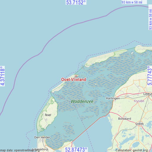
Oost-Vlieland GPS coordinates[2]
53° 17' 49.308" North, 5° 4' 27.516" East
| Map corner | latitude | longitude |
|---|---|---|
| Upper-left | 53.7152°, | 4.37118° |
| Center: | 53.29703°, | 5.07431° |
| Lower-right: | 52.87473°, | 5.77743° |
| Map W x H: | 93.5×93.4 km | = 58.1×58mi |
| max Lat: | 53.48025° ⇑2.6% North |
| Oost-Vlieland: | 53.29703° |
| min Lat: | ⇓97.4% South 50.76917° |
| min Long | Oost-Vlieland | max Long |
| 3.38611° | 5.07431° | 7.16528° |
| W 28.7%⇐ | ⇒71.3% E |
Elevation
Elevation of Oost-Vlieland is 4 m = 13 ft, and this is 11 m = 36 ft below average elevation for this country.
| Max E: |
203 m = 666 ft | 58.8% |
| Avg. | 15 m = 49 ft | |
| Oost-Vlieland | 4 m = 13 ft | |
Min E: |
-6 m = -20 ft | 41.2% |
See also: Netherlands elevation on elevation.city.
Geographical zone
Oost-Vlieland is located in North temperate zone (between Tropic of Cancer and the Arctic Circle). Distance of this North polar circle is 1475.1 km =916.6 mi to North.| Distance of | km | miles | from Oost-Vlieland |
|---|---|---|---|
| North Pole | 4081 | 2535.8 | to North |
| Arctic Circle | 1475.1 | 916.6 | to North |
| Tropic Cancer | 3320.2 | 2063.1 | to South |
| Equator | 5926.1 | 3682.3 | to South |


Nearby cities:
15 places around Oost-Vlieland: (largest is in red/bold)
• Achlum
31.8 km =19.8 mi,  121°
121°
• Arum
32.6 km =20.3 mi, 124°
• De Cocksdorp
20.7 km =12.9 mi,  220°
220°
• De Koog
30.5 km =19 mi, 223°
• Den Burg
32.7 km =20.3 mi,  214°
214°
• Franeker
33.5 km =20.8 mi,  111°
111°
• Harlingen
26.9 km =16.7 mi, 120°
• Midlum
28 km =17.4 mi, 117°
• Midsland
16.9 km =10.5 mi,  55°
55°
• Oosterend
27.1 km =16.8 mi, 209°
• Oudeschild
32.4 km =20.1 mi, 207°
• Sexbierum
28.6 km =17.8 mi, 107°
• Tzummarum
32.1 km =19.9 mi,  101°
101°
• West-Terschelling
11.6 km =7.2 mi,  53°
53°
• Witmarsum
33.9 km =21.1 mi,  129°
129°
Sources, notices
• [Note1] Compared only with cities in Netherlands existing in our database
• [Src1] Map data: © OpenStreetMap contributors (CC-BY-SA)
• [Src2] Other city data from geonames.org with taken over terms of usage.
• [Src3] Geographical zone / Annual Mean Temperature by Robert A. Rohde @ Wikipedia
