Namche Bazar geodata
Namche Bazar (Eastern Region) is a populated place; located in Nepal in Asia/Kathmandu (GMT+5.75) time zone. With population of 2,324 people, there are 54 cities with bigger population in this country. Compared to other cities in Nepal, 51.4% of cities are located further ↑North; 85.1% of cities are located further ←West and 95.9% of cities have lower elevation than Namche Bazar. Note1


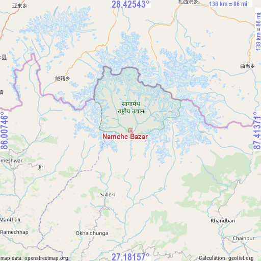
Namche Bazar GPS coordinates[2]
27° 48' 19.008" North, 86° 42' 38.088" East
| Map corner | latitude | longitude |
|---|---|---|
| Upper-left | 28.42543°, | 86.00746° |
| Center: | 27.80528°, | 86.71058° |
| Lower-right: | 27.18157°, | 87.41371° |
| Map W x H: | 138.3×138.3 km | = 85.9×85.9mi |
| max Lat: | 30.04651° ⇑51.4% North |
| Namche Bazar: | 27.80528° |
| min Lat: | ⇓48.6% South 26.45505° |
| min Long | Namche Bazar | max Long |
| 80.17715° | 86.71058° | 88.09436° |
| W 85.1%⇐ | ⇒14.9% E |
Elevation
Elevation of Namche Bazar is 3433 m = 11263 ft, and this is 2257.8 m = 7407 ft above average elevation for this country.
| Max E: |
5251 m = 17228 ft | 4.1% |
| Namche Bazar | 3433 m 11263 ft | |
| Avg. | 1175.2 m = 3856 ft | |
Min E: |
72 m = 236 ft | 95.9% |
See also: Nepal elevation on elevation.city.
Geographical zone
Namche Bazar is located in North temperate zone (between Tropic of Cancer and the Arctic Circle). Distance of this Northern Tropic circle is 485.7 km =301.8 mi to South.| Distance of | km | miles | from Namche Bazar |
|---|---|---|---|
| North Pole | 6915.4 | 4297 | to North |
| Arctic Circle | 4309.5 | 2677.8 | to North |
| Tropic Cancer | 485.7 | 301.8 | to South |
| Equator | 3091.7 | 1921.1 | to South |


Nearby cities:
15 places around Namche Bazar: (largest is in red/bold)
• Banepā
118.6 km =73.7 mi,  260°
260°
• Bhojpur
77.9 km =48.4 mi,  154°
154°
• Chhetrapa1
60.2 km =37.4 mi, 256°
• Dhankutā
110.1 km =68.4 mi, 146°
• Dharān
123.7 km =76.9 mi, 152°
• Dhulikhel
116.7 km =72.5 mi, 259°
• Khanbari
68.4 km =42.5 mi,  134°
134°
• Kothari
76.1 km =47.3 mi,  283°
283°
• Lahān
122.7 km =76.2 mi,  190°
190°
• Lobujya
19.2 km =11.9 mi,  32°
32°
• Nagarkot
117.5 km =73 mi,  265°
265°
• Panauti
119.6 km =74.3 mi, 258°
• Panauti̇̄
120.3 km =74.8 mi, 258°
• Rāmechhāp
81.3 km =50.5 mi,  229°
229°
• Triyuga
112.7 km =70 mi,  180°
180°
Sources, notices
• [Note1] Compared only with cities in Nepal existing in our database
• [Src1] Map data: © OpenStreetMap contributors (CC-BY-SA)
• [Src2] Other city data from geonames.org with taken over terms of usage.
• [Src3] Geographical zone / Annual Mean Temperature by Robert A. Rohde @ Wikipedia
