Badīyah geodata
Badīyah (Northeastern Governorate) is a populated place; located in Oman in Asia/Muscat (GMT+4) time zone. With population of 18,479 people, there are 22 cities with bigger population in this country. Compared to other cities in Oman, 87.1% of cities are located further ↑North; 96.8% of cities are located further ←West and 64.5% of cities have lower elevation than Badīyah. Note1


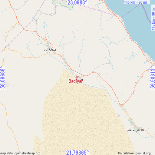
Badīyah GPS coordinates[2]
22° 27' 0" North, 58° 48' 0" East
| Map corner | latitude | longitude |
|---|---|---|
| Upper-left | 23.0983°, | 58.09688° |
| Center: | 22.45°, | 58.8° |
| Lower-right: | 21.79865°, | 59.50313° |
| Map W x H: | 144.5×144.5 km | = 89.8×89.8mi |
| max Lat: | 26.19778° ⇑87.1% North |
| Badīyah: | 22.45° |
| min Lat: | ⇓12.9% South 17.01505° |
| min Long | Badīyah | max Long |
| 52.66042° | 58.8° | 59.52889° |
| W 96.8%⇐ | ⇒3.2% E |
Elevation
Elevation of Badīyah is 298 m = 978 ft, and this is 91.3 m = 300 ft above average elevation for this country.
| Max E: |
684 m = 2244 ft | 35.5% |
| Badīyah | 298 m 978 ft | |
| Avg. | 206.7 m = 678 ft | |
Min E: |
1 m = 3 ft | 64.5% |
See also: Oman elevation on elevation.city.
Geographical zone
Badīyah is located in North Torrid zone (between Equator and Tropic of Cancer). Distance of this Northern Tropic circle is 109.7 km =68.2 mi to North.| Distance of | km | miles | from Badīyah |
|---|---|---|---|
| North Pole | 7510.9 | 4667.1 | to North |
| Arctic Circle | 4905 | 3047.8 | to North |
| Tropic Cancer | 109.7 | 68.2 | to North |
| Equator | 2496.2 | 1551.1 | to South |


Nearby cities:
15 places around Badīyah: (largest is in red/bold)
• Adam
131.1 km =81.5 mi,  266°
266°
• Al Qābil
17.3 km =10.7 mi,  321°
321°
• Bahlā’
164.3 km =102.1 mi,  290°
290°
• Barkā’
165.5 km =102.8 mi,  325°
325°
• Bawshar
131.9 km =82 mi,  341°
341°
• Bayt al ‘Awābī
161.5 km =100.4 mi,  305°
305°
• Bidbid
126.8 km =78.8 mi, 327°
• Ibrā’
38.3 km =23.8 mi, 314°
• Izkī
118.8 km =73.8 mi,  296°
296°
• Muscat
132.3 km =82.2 mi, 342°
• Nizwá
140.6 km =87.4 mi, 292°
• Rustaq
175.5 km =109.1 mi, 306°
• Seeb
149.4 km =92.8 mi, 335°
• Sufālat Samā’il
125.4 km =77.9 mi, 320°
• Sur
76 km =47.2 mi,  80°
80°
Sources, notices
• [Note1] Compared only with cities in Oman existing in our database
• [Src1] Map data: © OpenStreetMap contributors (CC-BY-SA)
• [Src2] Other city data from geonames.org with taken over terms of usage.
• [Src3] Geographical zone / Annual Mean Temperature by Robert A. Rohde @ Wikipedia
