Al Qābil geodata
Al Qābil (Northeastern Governorate) is a populated place; located in Oman in Asia/Muscat (GMT+4) time zone. With population of 14,008 people, there are 26 cities with bigger population in this country. Compared to other cities in Oman, 80.6% of cities are located further ↑North; 93.5% of cities are located further ←West and 71% of cities have lower elevation than Al Qābil. Note1


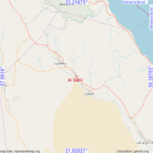
Al Qābil GPS coordinates[2]
22° 34' 15.6" North, 58° 41' 40.992" East
| Map corner | latitude | longitude |
|---|---|---|
| Upper-left | 23.21873°, | 57.9916° |
| Center: | 22.571°, | 58.69472° |
| Lower-right: | 21.92021°, | 59.39785° |
| Map W x H: | 144.4×144.4 km | = 89.7×89.7mi |
| max Lat: | 26.19778° ⇑80.6% North |
| Al Qābil: | 22.571° |
| min Lat: | ⇓19.4% South 17.01505° |
| min Long | Al Qābil | max Long |
| 52.66042° | 58.69472° | 59.52889° |
| W 93.5%⇐ | ⇒6.5% E |
Elevation
Elevation of Al Qābil is 343 m = 1125 ft, and this is 136.3 m = 447 ft above average elevation for this country.
| Max E: |
684 m = 2244 ft | 29% |
| Al Qābil | 343 m 1125 ft | |
| Avg. | 206.7 m = 678 ft | |
Min E: |
1 m = 3 ft | 71% |
See also: Oman elevation on elevation.city.
Geographical zone
Al Qābil is located in North Torrid zone (between Equator and Tropic of Cancer). Distance of this Northern Tropic circle is 96.3 km =59.8 mi to North.| Distance of | km | miles | from Al Qābil |
|---|---|---|---|
| North Pole | 7497.4 | 4658.7 | to North |
| Arctic Circle | 4891.5 | 3039.4 | to North |
| Tropic Cancer | 96.3 | 59.8 | to North |
| Equator | 2509.7 | 1559.5 | to South |


Nearby cities:
15 places around Al Qābil: (largest is in red/bold)
• Adam
121.8 km =75.7 mi,  259°
259°
• Badīyah
17.3 km =10.7 mi,  141°
141°
• Bahlā’
149.5 km =92.9 mi,  287°
287°
• Barkā’
148.3 km =92.1 mi,  326°
326°
• Bawshar
115.9 km =72 mi,  344°
344°
• Bayt al ‘Awābī
144.9 km =90 mi,  304°
304°
• Bidbid
109.6 km =68.1 mi, 328°
• Ibrā’
21.2 km =13.2 mi,  308°
308°
• Izkī
103.3 km =64.2 mi, 292°
• Muscat
116.4 km =72.3 mi,  345°
345°
• Nizwá
125.7 km =78.1 mi, 288°
• Rustaq
158.8 km =98.7 mi, 305°
• Seeb
132.7 km =82.5 mi, 337°
• Sufālat Samā’il
108.1 km =67.2 mi,  320°
320°
• Sur
85.6 km =53.2 mi,  90°
90°
Sources, notices
• [Note1] Compared only with cities in Oman existing in our database
• [Src1] Map data: © OpenStreetMap contributors (CC-BY-SA)
• [Src2] Other city data from geonames.org with taken over terms of usage.
• [Src3] Geographical zone / Annual Mean Temperature by Robert A. Rohde @ Wikipedia
