Nueva Arica geodata
Nueva Arica (Lambayeque) is a seat of a third-order administrative division; located in Peru in America/Lima (GMT-5) time zone. In our database, there are 305 cities with bigger population. Compared to other cities in Peru, 81% of cities are located further ↓South; 92.6% of cities are located further →East and 85.1% of cities have higher elevation than Nueva Arica. Note1


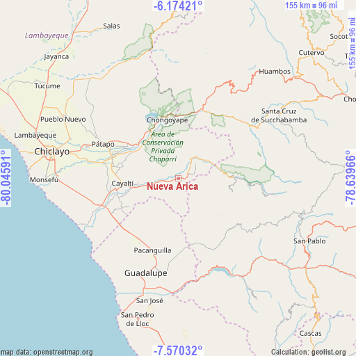
Nueva Arica GPS coordinates[2]
6° 52' 22.008" South, 79° 20' 34.008" West
| Map corner | latitude | longitude |
|---|---|---|
| Upper-left | -6.17421°, | -80.04591° |
| Center: | -6.87278°, | -79.34278° |
| Lower-right: | -7.57032°, | -78.63966° |
| Map W x H: | 155.2×155.2 km | = 96.4×96.4mi |
| max Lat: | -0.96667° ⇑19% North |
| Nueva Arica: | -6.87278° |
| min Lat: | ⇓81% South -18.01465° |
| min Long | Nueva Arica | max Long |
| -81.30472° | -79.34278° | -69.04167° |
| W 7.4%⇐ | ⇒92.6% E |
Elevation
Elevation of Nueva Arica is 174 m = 571 ft, and this is 2144.7 m = 7036 ft below average elevation for this country.
| Max E: |
5022 m = 16476 ft | 85.1% |
| Avg. | 2318.7 m = 7607 ft | |
| Nueva Arica | 174 m = 571 ft | |
Min E: |
1 m = 3 ft | 14.9% |
See also: Peru elevation on elevation.city.
Geographical zone
Nueva Arica is located in South Torrid zone (between Equator and Tropic of Capricorn). Distance of Equator is 764.2 km =474.9 mi to North.| Distance of | km | miles | from Nueva Arica |
|---|---|---|---|
| Equator | 764.2 | 474.9 | to North |
| Tropic Capricorn | 1841.7 | 1144.4 | to South |
| Antarctic Circle | 6637 | 4124 | to South |
| South Pole | 9242.9 | 5743.3 | to South |


Nearby cities:
15 places around Nueva Arica: (largest is in red/bold)
• Catache
40.6 km =25.2 mi,  57°
57°
• Chepén
40.1 km =24.9 mi,  193°
193°
• Chongoyape
26.3 km =16.3 mi,  348°
348°
• El Prado
41.8 km =26 mi,  115°
115°
• Guadalupe
44.7 km =27.8 mi,  200°
200°
• La Florida
24.5 km =15.2 mi,  89°
89°
• Llama
46.8 km =29.1 mi,  31°
31°
• Mocupe
33.2 km =20.6 mi,  246°
246°
• Nanchoc
14.7 km =9.1 mi,  131°
131°
• Niepos
24.4 km =15.2 mi,  104°
104°
• Oyotún
5.6 km =3.5 mi, 55°
• Pacanga
37 km =23 mi,  207°
207°
• Pueblo Nuevo
39.9 km =24.8 mi, 208°
• San Gregorio
33.3 km =20.7 mi, 126°
• Saña
26.9 km =16.7 mi,  259°
259°
Sources, notices
• [Note1] Compared only with cities in Peru existing in our database
• [Src1] Map data: © OpenStreetMap contributors (CC-BY-SA)
• [Src2] Other city data from geonames.org with taken over terms of usage.
• [Src3] Geographical zone / Annual Mean Temperature by Robert A. Rohde @ Wikipedia
