Coishco geodata
Coishco (Ancash) is a seat of a third-order administrative division; located in Peru in America/Lima (GMT-5) time zone. With population of 15,083 people, there are 106 cities with bigger population in this country. Compared to other cities in Peru, 68.8% of cities are located further ↓South; 86.5% of cities are located further →East and 96.6% of cities have higher elevation than Coishco. Note1


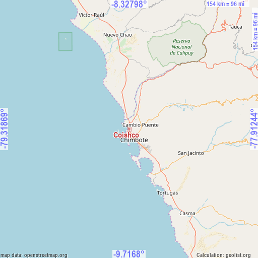
Coishco GPS coordinates[2]
9° 1' 23.016" South, 78° 36' 56.016" West
| Map corner | latitude | longitude |
|---|---|---|
| Upper-left | -8.32798°, | -79.31869° |
| Center: | -9.02306°, | -78.61556° |
| Lower-right: | -9.7168°, | -77.91244° |
| Map W x H: | 154.4×154.4 km | = 95.9×95.9mi |
| max Lat: | -0.96667° ⇑31.2% North |
| Coishco: | -9.02306° |
| min Lat: | ⇓68.8% South -18.01465° |
| min Long | Coishco | max Long |
| -81.30472° | -78.61556° | -69.04167° |
| W 13.5%⇐ | ⇒86.5% E |
Elevation
Elevation of Coishco is 20 m = 66 ft, and this is 2298.7 m = 7542 ft below average elevation for this country.
| Max E: |
5022 m = 16476 ft | 96.6% |
| Avg. | 2318.7 m = 7607 ft | |
| Coishco | 20 m = 66 ft | |
Min E: |
1 m = 3 ft | 3.4% |
See also: Peru elevation on elevation.city.
Geographical zone
Coishco is located in South Torrid zone (between Equator and Tropic of Capricorn). Distance of Equator is 1003.3 km =623.4 mi to North.| Distance of | km | miles | from Coishco |
|---|---|---|---|
| Equator | 1003.3 | 623.4 | to North |
| Tropic Capricorn | 1602.6 | 995.8 | to South |
| Antarctic Circle | 6397.9 | 3975.5 | to South |
| South Pole | 9003.8 | 5594.7 | to South |


Nearby cities:
15 places around Coishco: (largest is in red/bold)
• Buenos Aires
17.2 km =10.7 mi,  130°
130°
• Casma
60.9 km =37.8 mi,  145°
145°
• Chao
53.8 km =33.4 mi,  352°
352°
• Chimbote
8 km =5 mi, 149°
• Guadalupito
8.1 km =5 mi, 354°
• Macate
65 km =40.4 mi,  64°
64°
• Moro
49.3 km =30.6 mi,  105°
105°
• Nepeña
32.7 km =20.3 mi,  120°
120°
• Pamparomas
69.9 km =43.4 mi,  94°
94°
• Puerto Casma
55.3 km =34.4 mi, 152°
• Puerto Santa
5.3 km =3.3 mi,  318°
318°
• Quillo
71.6 km =44.5 mi, 118°
• Samanco
29.6 km =18.4 mi, 153°
• Santa
3.9 km =2.4 mi,  5°
5°
• Virú
69.2 km =43 mi, 347°
Sources, notices
• [Note1] Compared only with cities in Peru existing in our database
• [Src1] Map data: © OpenStreetMap contributors (CC-BY-SA)
• [Src2] Other city data from geonames.org with taken over terms of usage.
• [Src3] Geographical zone / Annual Mean Temperature by Robert A. Rohde @ Wikipedia
