Morehead geodata
Morehead (Western Province) is a populated place; located in Papua New Guinea in Pacific/Port_Moresby (GMT+10) time zone. With population of 2,246 people, there are 30 cities with bigger population in this country. Compared to other cities in Papua New Guinea, 84.1% of cities are located further ↑North; 95.5% of cities are located further →East and 72.7% of cities have higher elevation than Morehead. Note1


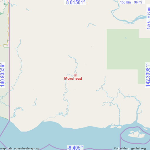
Morehead GPS coordinates[2]
8° 42' 38.34" South, 141° 38' 12.048" East
| Map corner | latitude | longitude |
|---|---|---|
| Upper-left | -8.01501°, | 140.93356° |
| Center: | -8.71065°, | 141.63668° |
| Lower-right: | -9.405°, | 142.33981° |
| Map W x H: | 154.6×154.6 km | = 96.1×96.1mi |
| max Lat: | -2.0341° ⇑84.1% North |
| Morehead: | -8.71065° |
| min Lat: | ⇓15.9% South -10.61038° |
| min Long | Morehead | max Long |
| 141.29061° | 141.63668° | 155.69147° |
| W 4.5%⇐ | ⇒95.5% E |
Elevation
Elevation of Morehead is 11 m = 36 ft, and this is 570 m = 1870 ft below average elevation for this country.
| Max E: |
2248 m = 7375 ft | 72.7% |
| Avg. | 581 m = 1906 ft | |
| Morehead | 11 m = 36 ft | |
Min E: |
0 m = 0 ft | 27.3% |
See also: Papua New Guinea elevation on elevation.city.
Geographical zone
Morehead is located in South Torrid zone (between Equator and Tropic of Capricorn). Distance of Equator is 968.5 km =601.8 mi to North.| Distance of | km | miles | from Morehead |
|---|---|---|---|
| Equator | 968.5 | 601.8 | to North |
| Tropic Capricorn | 1637.4 | 1017.4 | to South |
| Antarctic Circle | 6432.6 | 3997 | to South |
| South Pole | 9038.5 | 5616.3 | to South |


Nearby cities:
10 places around Morehead: (largest is in red/bold)
• Daru
177.5 km =110.3 mi,  103°
103°
• Ialibu
374.7 km =232.8 mi,  43°
43°
• Ihu
423.2 km =263 mi,  77°
77°
• Kiunga
290.4 km =180.4 mi,  352°
352°
• Mendi
361.7 km =224.7 mi, 38°
• Mount Hagen
427.2 km =265.4 mi, 42°
• Porgera
397.7 km =247.1 mi,  24°
24°
• Rauna
441.5 km =274.3 mi, 41°
• Tari
349.9 km =217.4 mi, 24°
• Wabag
425.5 km =264.4 mi,  32°
32°
Sources, notices
• [Note1] Compared only with cities in Papua New Guinea existing in our database
• [Src1] Map data: © OpenStreetMap contributors (CC-BY-SA)
• [Src2] Other city data from geonames.org with taken over terms of usage.
• [Src3] Geographical zone / Annual Mean Temperature by Robert A. Rohde @ Wikipedia
