Ialibu geodata
Ialibu (Southern Highlands) is a populated place; located in Papua New Guinea in Pacific/Port_Moresby (GMT+10) time zone. With population of 6,915 people, there are 22 cities with bigger population in this country. Compared to other cities in Papua New Guinea, 61.4% of cities are located further ↑North; 72.7% of cities are located further →East and 95.5% of cities have lower elevation than Ialibu. Note1


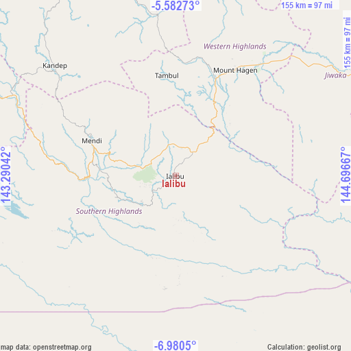
Ialibu GPS coordinates[2]
6° 16' 55.488" South, 143° 59' 36.744" East
| Map corner | latitude | longitude |
|---|---|---|
| Upper-left | -5.58273°, | 143.29042° |
| Center: | -6.28208°, | 143.99354° |
| Lower-right: | -6.9805°, | 144.69667° |
| Map W x H: | 155.4×155.4 km | = 96.6×96.6mi |
| max Lat: | -2.0341° ⇑61.4% North |
| Ialibu: | -6.28208° |
| min Lat: | ⇓38.6% South -10.61038° |
| min Long | Ialibu | max Long |
| 141.29061° | 143.99354° | 155.69147° |
| W 27.3%⇐ | ⇒72.7% E |
Elevation
Elevation of Ialibu is 2061 m = 6762 ft, and this is 1480 m = 4856 ft above average elevation for this country.
| Max E: |
2248 m = 7375 ft | 4.5% |
| Ialibu | 2061 m 6762 ft | |
| Avg. | 581 m = 1906 ft | |
Min E: |
0 m = 0 ft | 95.5% |
See also: Papua New Guinea elevation on elevation.city.
Geographical zone
Ialibu is located in South Torrid zone (between Equator and Tropic of Capricorn). Distance of Equator is 698.5 km =434 mi to North.| Distance of | km | miles | from Ialibu |
|---|---|---|---|
| Equator | 698.5 | 434 | to North |
| Tropic Capricorn | 1907.4 | 1185.2 | to South |
| Antarctic Circle | 6702.7 | 4164.9 | to South |
| South Pole | 9308.6 | 5784.1 | to South |


Nearby cities:
15 places around Ialibu: (largest is in red/bold)
• Angoram
246.9 km =153.4 mi,  1°
1°
• Goroka
155.6 km =96.7 mi,  81°
81°
• Ihu
236.8 km =147.1 mi,  139°
139°
• Kainantu
206.9 km =128.6 mi,  90°
90°
• Kundiawa
111.7 km =69.4 mi,  74°
74°
• Kurumul
85 km =52.8 mi,  56°
56°
• Laiagam
108.1 km =67.2 mi,  348°
348°
• Madang
230.8 km =143.4 mi, 59°
• Mendi
40.2 km =25 mi,  291°
291°
• Minj
87.7 km =54.5 mi, 61°
• Mount Hagen
54 km =33.6 mi,  29°
29°
• Porgera
130.5 km =81.1 mi,  314°
314°
• Rauna
68.9 km =42.8 mi, 28°
• Tari
125.5 km =78 mi, 292°
• Wabag
92.9 km =57.7 mi,  341°
341°
Sources, notices
• [Note1] Compared only with cities in Papua New Guinea existing in our database
• [Src1] Map data: © OpenStreetMap contributors (CC-BY-SA)
• [Src2] Other city data from geonames.org with taken over terms of usage.
• [Src3] Geographical zone / Annual Mean Temperature by Robert A. Rohde @ Wikipedia
