Kwikila geodata
Kwikila (Central Province) is a seat of a second-order administrative division; located in Papua New Guinea in Pacific/Port_Moresby (GMT+10) time zone. In our database, there are 39 cities with bigger population. Compared to other cities in Papua New Guinea, 95.5% of cities are located further ↑North; 65.9% of cities are located further ←West and 56.8% of cities have lower elevation than Kwikila. Note1


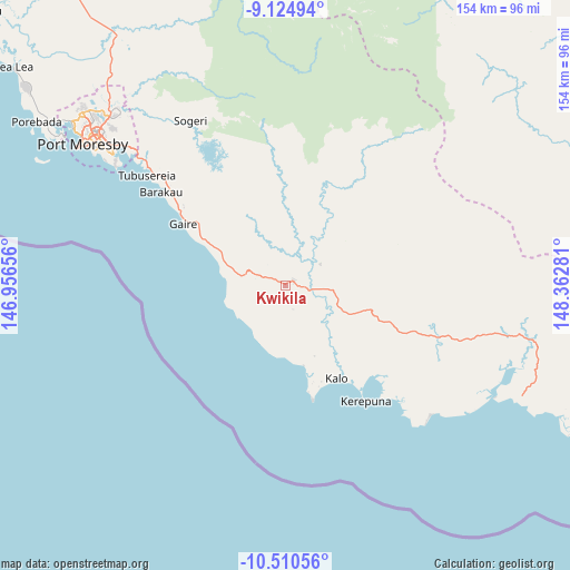
Kwikila GPS coordinates[2]
9° 49' 6.492" South, 147° 39' 34.848" East
| Map corner | latitude | longitude |
|---|---|---|
| Upper-left | -9.12494°, | 146.95656° |
| Center: | -9.81847°, | 147.65968° |
| Lower-right: | -10.51056°, | 148.36281° |
| Map W x H: | 154.1×154.1 km | = 95.8×95.8mi |
| max Lat: | -2.0341° ⇑95.5% North |
| Kwikila: | -9.81847° |
| min Lat: | ⇓4.5% South -10.61038° |
| min Long | Kwikila | max Long |
| 141.29061° | 147.65968° | 155.69147° |
| W 65.9%⇐ | ⇒34.1% E |
Elevation
Elevation of Kwikila is 68 m = 223 ft, and this is 513 m = 1683 ft below average elevation for this country.
| Max E: |
2248 m = 7375 ft | 43.2% |
| Avg. | 581 m = 1906 ft | |
| Kwikila | 68 m = 223 ft | |
Min E: |
0 m = 0 ft | 56.8% |
See also: Papua New Guinea elevation on elevation.city.
Geographical zone
Kwikila is located in South Torrid zone (between Equator and Tropic of Capricorn). Distance of Equator is 1091.7 km =678.4 mi to North.| Distance of | km | miles | from Kwikila |
|---|---|---|---|
| Equator | 1091.7 | 678.4 | to North |
| Tropic Capricorn | 1514.2 | 940.9 | to South |
| Antarctic Circle | 6309.5 | 3920.5 | to South |
| South Pole | 8915.4 | 5539.8 | to South |


Nearby cities:
12 places around Kwikila: (largest is in red/bold)
• Alotau
311.2 km =193.4 mi,  100°
100°
• Bulolo
311.6 km =193.6 mi,  338°
338°
• Finschhafen
363.1 km =225.6 mi,  3°
3°
• Ihu
328.1 km =203.9 mi,  310°
310°
• Kainantu
439.4 km =273 mi,  333°
333°
• Kerema
292.7 km =181.9 mi, 314°
• Kokoda
104.9 km =65.2 mi, 4°
• Lae
351.8 km =218.6 mi,  348°
348°
• Popondetta
132.9 km =82.6 mi,  28°
28°
• Port Moresby
67.5 km =41.9 mi,  304°
304°
• Samarai
340.1 km =211.3 mi,  105°
105°
• Wau
294.7 km =183.1 mi, 339°
Sources, notices
• [Note1] Compared only with cities in Papua New Guinea existing in our database
• [Src1] Map data: © OpenStreetMap contributors (CC-BY-SA)
• [Src2] Other city data from geonames.org with taken over terms of usage.
• [Src3] Geographical zone / Annual Mean Temperature by Robert A. Rohde @ Wikipedia
