Malidong geodata
Malidong (Bicol) is a populated place; located in Philippines in Asia/Manila (GMT+8) time zone. With population of 2,301 people, there are 3682 cities with bigger population in this country. Compared to other cities in Philippines, 57.4% of cities are located further ↓South; 61.5% of cities are located further ←West and 51.1% of cities have lower elevation than Malidong. Note1


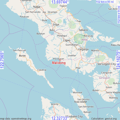
Malidong GPS coordinates[2]
13° 0' 47.988" North, 123° 27' 34.632" East
| Map corner | latitude | longitude |
|---|---|---|
| Upper-left | 13.69744°, | 122.7565° |
| Center: | 13.01333°, | 123.45962° |
| Lower-right: | 12.32733°, | 124.16275° |
| Map W x H: | 152.3×152.3 km | = 94.6×94.6mi |
| max Lat: | 20.78733° ⇑42.6% North |
| Malidong: | 13.01333° |
| min Lat: | ⇓57.4% South 4.65442° |
| min Long | Malidong | max Long |
| 117.04868° | 123.45962° | 126.58417° |
| W 61.5%⇐ | ⇒38.5% E |
Elevation
Elevation of Malidong is 24 m = 79 ft, and this is 63.9 m = 210 ft below average elevation for this country.
| Max E: |
2262 m = 7421 ft | 48.9% |
| Avg. | 87.9 m = 288 ft | |
| Malidong | 24 m = 79 ft | |
Min E: |
-2 m = -7 ft | 51.1% |
See also: Philippines elevation on elevation.city.
Geographical zone
Malidong is located in North Torrid zone (between Equator and Tropic of Cancer). Distance of this Northern Tropic circle is 1159 km =720.2 mi to North.| Distance of | km | miles | from Malidong |
|---|---|---|---|
| North Pole | 8560.1 | 5319 | to North |
| Arctic Circle | 5954.2 | 3699.8 | to North |
| Tropic Cancer | 1159 | 720.2 | to North |
| Equator | 1446.9 | 899.1 | to South |


Nearby cities:
15 places around Malidong: (largest is in red/bold)
• Abucay
20.8 km =12.9 mi,  99°
99°
• Apud
23 km =14.3 mi,  307°
307°
• Badian
16.6 km =10.3 mi,  277°
277°
• Basicao Coastal
7 km =4.3 mi,  301°
301°
• Binodegahan
5.3 km =3.3 mi,  358°
358°
• Cagmanaba
18.2 km =11.3 mi, 284°
• Dangcalan
17.2 km =10.7 mi,  128°
128°
• Donsol
18.9 km =11.7 mi, 129°
• Jovellar
16.4 km =10.2 mi,  67°
67°
• Maonon
10 km =6.2 mi, 284°
• Mauraro
21.1 km =13.1 mi,  44°
44°
• Ogod
21.1 km =13.1 mi, 126°
• Paulba
18.4 km =11.4 mi,  0°
0°
• Pio Duran
2.4 km =1.5 mi,  318°
318°
• Salvacion
18 km =11.2 mi, 70°
Sources, notices
• [Note1] Compared only with cities in Philippines existing in our database
• [Src1] Map data: © OpenStreetMap contributors (CC-BY-SA)
• [Src2] Other city data from geonames.org with taken over terms of usage.
• [Src3] Geographical zone / Annual Mean Temperature by Robert A. Rohde @ Wikipedia
