Alik Ghund geodata
Alik Ghund (Balochistan) is a populated place; located in Pakistan in Asia/Karachi (GMT+5) time zone. With population of 7,630 people, there are 373 cities with bigger population in this country. Compared to other cities in Pakistan, 53.7% of cities are located further ↑North; 93.9% of cities are located further →East and 98.9% of cities have lower elevation than Alik Ghund. Note1


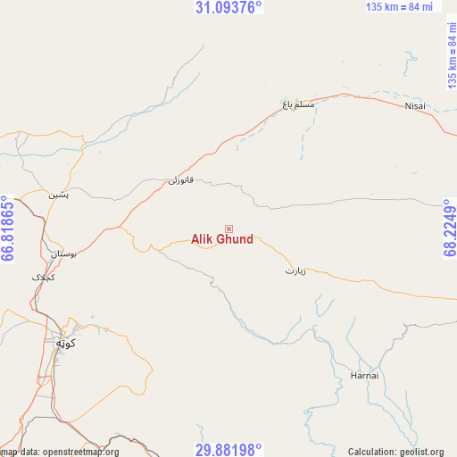
Alik Ghund GPS coordinates[2]
30° 29' 23.136" North, 67° 31' 18.372" East
| Map corner | latitude | longitude |
|---|---|---|
| Upper-left | 31.09376°, | 66.81865° |
| Center: | 30.48976°, | 67.52177° |
| Lower-right: | 29.88198°, | 68.2249° |
| Map W x H: | 134.7×134.7 km | = 83.7×83.7mi |
| max Lat: | 36.32162° ⇑53.7% North |
| Alik Ghund: | 30.48976° |
| min Lat: | ⇓46.3% South 24.14422° |
| min Long | Alik Ghund | max Long |
| 61.74573° | 67.52177° | 75.63372° |
| W 6.1%⇐ | ⇒93.9% E |
Elevation
Elevation of Alik Ghund is 2239 m = 7346 ft, and this is 1894 m = 6214 ft above average elevation for this country.
| Max E: |
2732 m = 8963 ft | 1.1% |
| Alik Ghund | 2239 m 7346 ft | |
| Avg. | 345 m = 1132 ft | |
Min E: |
3 m = 10 ft | 98.9% |
See also: Pakistan elevation on elevation.city.
Geographical zone
Alik Ghund is located in North temperate zone (between Tropic of Cancer and the Arctic Circle). Distance of this Northern Tropic circle is 784.2 km =487.3 mi to South.| Distance of | km | miles | from Alik Ghund |
|---|---|---|---|
| North Pole | 6616.9 | 4111.5 | to North |
| Arctic Circle | 4011 | 2492.3 | to North |
| Tropic Cancer | 784.2 | 487.3 | to South |
| Equator | 3390.1 | 2106.5 | to South |


Nearby cities:
15 places around Alik Ghund: (largest is in red/bold)
• Chaman
112.7 km =70 mi,  294°
294°
• Dadhar
113.5 km =70.5 mi,  173°
173°
• Duki
107.6 km =66.9 mi,  110°
110°
• Harnai
58.9 km =36.6 mi,  137°
137°
• Khadan Khak
34.4 km =21.4 mi,  31°
31°
• Kot Malik Barkhurdar
60.3 km =37.5 mi,  238°
238°
• Loralai
104 km =64.6 mi,  97°
97°
• Mach
72 km =44.7 mi,  194°
194°
• Mastung
100.6 km =62.5 mi,  220°
220°
• Pishin
51.6 km =32.1 mi,  281°
281°
• Qila Abdullah
86.5 km =53.7 mi, 287°
• Qila Saifullah
83.6 km =51.9 mi,  73°
73°
• Quetta
60.4 km =37.5 mi, 235°
• Sibi
110.7 km =68.8 mi,  161°
161°
• Ziarat
22.9 km =14.2 mi,  121°
121°
Sources, notices
• [Note1] Compared only with cities in Pakistan existing in our database
• [Src1] Map data: © OpenStreetMap contributors (CC-BY-SA)
• [Src2] Other city data from geonames.org with taken over terms of usage.
• [Src3] Geographical zone / Annual Mean Temperature by Robert A. Rohde @ Wikipedia
