Pishin geodata
Pishin (Balochistan) is a seat of a second-order administrative division; located in Pakistan in Asia/Karachi (GMT+5) time zone. With population of 24,239 people, there are 246 cities with bigger population in this country. Compared to other cities in Pakistan, 52.4% of cities are located further ↑North; 95.5% of cities are located further →East and 95.5% of cities have lower elevation than Pishin. Note1


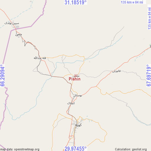
Pishin GPS coordinates[2]
30° 34' 54.336" North, 66° 59' 38.616" East
| Map corner | latitude | longitude |
|---|---|---|
| Upper-left | 31.18519°, | 66.29094° |
| Center: | 30.58176°, | 66.99406° |
| Lower-right: | 29.97455°, | 67.69719° |
| Map W x H: | 134.6×134.6 km | = 83.6×83.6mi |
| max Lat: | 36.32162° ⇑52.4% North |
| Pishin: | 30.58176° |
| min Lat: | ⇓47.6% South 24.14422° |
| min Long | Pishin | max Long |
| 61.74573° | 66.99406° | 75.63372° |
| W 4.5%⇐ | ⇒95.5% E |
Elevation
Elevation of Pishin is 1541 m = 5056 ft, and this is 1196 m = 3924 ft above average elevation for this country.
| Max E: |
2732 m = 8963 ft | 4.5% |
| Pishin | 1541 m 5056 ft | |
| Avg. | 345 m = 1132 ft | |
Min E: |
3 m = 10 ft | 95.5% |
See also: Pakistan elevation on elevation.city.
Geographical zone
Pishin is located in North temperate zone (between Tropic of Cancer and the Arctic Circle). Distance of this Northern Tropic circle is 794.5 km =493.7 mi to South.| Distance of | km | miles | from Pishin |
|---|---|---|---|
| North Pole | 6606.7 | 4105.2 | to North |
| Arctic Circle | 4000.8 | 2486 | to North |
| Tropic Cancer | 794.5 | 493.7 | to South |
| Equator | 3400.4 | 2112.9 | to South |


Nearby cities:
15 places around Pishin: (largest is in red/bold)
• Alik Ghund
51.6 km =32.1 mi,  101°
101°
• Chaman
63.8 km =39.6 mi,  305°
305°
• Dadhar
138.4 km =86 mi,  152°
152°
• Harnai
105.2 km =65.4 mi,  120°
120°
• Khadan Khak
71.2 km =44.2 mi,  74°
74°
• Kot Malik Barkhurdar
42 km =26.1 mi,  180°
180°
• Loralai
155.5 km =96.6 mi, 98°
• Mach
86.1 km =53.5 mi,  157°
157°
• Mastung
88.1 km =54.7 mi,  189°
189°
• Nushki
147.8 km =91.8 mi,  219°
219°
• Qila Abdullah
35.8 km =22.2 mi,  297°
297°
• Qila Saifullah
131.3 km =81.6 mi,  84°
84°
• Quetta
44.2 km =27.5 mi, 179°
• Sibi
143.4 km =89.1 mi,  143°
143°
• Ziarat
73.5 km =45.7 mi,  107°
107°
Sources, notices
• [Note1] Compared only with cities in Pakistan existing in our database
• [Src1] Map data: © OpenStreetMap contributors (CC-BY-SA)
• [Src2] Other city data from geonames.org with taken over terms of usage.
• [Src3] Geographical zone / Annual Mean Temperature by Robert A. Rohde @ Wikipedia
