Kharian geodata
Kharian (Punjab) is a populated place; located in Pakistan in Asia/Karachi (GMT+5) time zone. With population of 81,435 people, there are 81 cities with bigger population in this country. Compared to other cities in Pakistan, 80.4% of cities are located further ↓South; 88% of cities are located further ←West and 74% of cities have lower elevation than Kharian. Note1


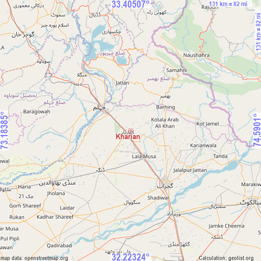
Kharian GPS coordinates[2]
32° 48' 58.032" North, 73° 53' 13.092" East
| Map corner | latitude | longitude |
|---|---|---|
| Upper-left | 33.40507°, | 73.18385° |
| Center: | 32.81612°, | 73.88697° |
| Lower-right: | 32.22324°, | 74.5901° |
| Map W x H: | 131.4×131.4 km | = 81.6×81.6mi |
| max Lat: | 36.32162° ⇑19.6% North |
| Kharian: | 32.81612° |
| min Lat: | ⇓80.4% South 24.14422° |
| min Long | Kharian | max Long |
| 61.74573° | 73.88697° | 75.63372° |
| W 88%⇐ | ⇒12% E |
Elevation
Elevation of Kharian is 285 m = 935 ft, and this is 60 m = 197 ft below average elevation for this country.
| Max E: |
2732 m = 8963 ft | 26% |
| Avg. | 345 m = 1132 ft | |
| Kharian | 285 m = 935 ft | |
Min E: |
3 m = 10 ft | 74% |
See also: Kharian elevation on elevation.city.
Geographical zone
Kharian is located in North temperate zone (between Tropic of Cancer and the Arctic Circle). Distance of this Northern Tropic circle is 1042.9 km =648 mi to South.| Distance of | km | miles | from Kharian |
|---|---|---|---|
| North Pole | 6358.3 | 3950.9 | to North |
| Arctic Circle | 3752.4 | 2331.6 | to North |
| Tropic Cancer | 1042.9 | 648 | to South |
| Equator | 3648.8 | 2267.3 | to South |


Nearby cities:
15 places around Kharian: (largest is in red/bold)
• Bhimbar
25.1 km =15.6 mi,  45°
45°
• Dhaunkal
51.3 km =31.9 mi,  152°
152°
• Dinga
24.9 km =15.5 mi,  218°
218°
• Gujrat
32.2 km =20 mi, 146°
• Jalalpur Jattan
35.6 km =22.1 mi,  123°
123°
• Jhelum
19.6 km =12.2 mi,  312°
312°
• Kunjah
32.9 km =20.4 mi,  165°
165°
• Lala Musa
14.4 km =8.9 mi, 152°
• Mandi Bahauddin
44.9 km =27.9 mi,  235°
235°
• Mehmand Chak
6.9 km =4.3 mi, 240°
• New Mirpur
39 km =24.2 mi,  341°
341°
• Phalia
51.6 km =32.1 mi,  213°
213°
• Sarai Alamgir
15.8 km =9.8 mi, 308°
• Sodhri
48.1 km =29.9 mi,  144°
144°
• Wazirabad
46.9 km =29.1 mi, 152°
Sources, notices
• [Note1] Compared only with cities in Pakistan existing in our database
• [Src1] Map data: © OpenStreetMap contributors (CC-BY-SA)
• [Src2] Other city data from geonames.org with taken over terms of usage.
• [Src3] Geographical zone / Annual Mean Temperature by Robert A. Rohde @ Wikipedia
