Alizai geodata
Alizai (FATA) is a populated place; located in Pakistan in Asia/Karachi (GMT+5) time zone. With population of 3,334 people, there are 388 cities with bigger population in this country. Compared to other cities in Pakistan, 85.8% of cities are located further ↓South; 60.9% of cities are located further →East and 88.9% of cities have lower elevation than Alizai. Note1


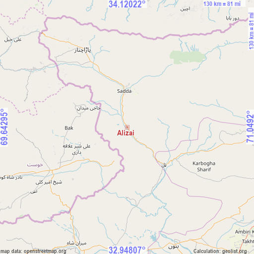
Alizai GPS coordinates[2]
33° 32' 10.068" North, 70° 20' 45.852" East
| Map corner | latitude | longitude |
|---|---|---|
| Upper-left | 34.12022°, | 69.64295° |
| Center: | 33.53613°, | 70.34607° |
| Lower-right: | 32.94807°, | 71.0492° |
| Map W x H: | 130.3×130.3 km | = 81×81mi |
| max Lat: | 36.32162° ⇑14.2% North |
| Alizai: | 33.53613° |
| min Lat: | ⇓85.8% South 24.14422° |
| min Long | Alizai | max Long |
| 61.74573° | 70.34607° | 75.63372° |
| W 39.1%⇐ | ⇒60.9% E |
Elevation
Elevation of Alizai is 979 m = 3212 ft, and this is 634 m = 2080 ft above average elevation for this country.
| Max E: |
2732 m = 8963 ft | 11.1% |
| Alizai | 979 m 3212 ft | |
| Avg. | 345 m = 1132 ft | |
Min E: |
3 m = 10 ft | 88.9% |
See also: Pakistan elevation on elevation.city.
Geographical zone
Alizai is located in North temperate zone (between Tropic of Cancer and the Arctic Circle). Distance of this Northern Tropic circle is 1122.9 km =697.7 mi to South.| Distance of | km | miles | from Alizai |
|---|---|---|---|
| North Pole | 6278.2 | 3901.1 | to North |
| Arctic Circle | 3672.3 | 2281.9 | to North |
| Tropic Cancer | 1122.9 | 697.7 | to South |
| Equator | 3728.9 | 2317 | to South |


Nearby cities:
15 places around Alizai: (largest is in red/bold)
• Bannu
65.8 km =40.9 mi,  158°
158°
• Doaba
38.3 km =23.8 mi,  108°
108°
• Gulishah Kach
96.2 km =59.8 mi,  180°
180°
• Hangu
66.1 km =41.1 mi,  90°
90°
• Kamar Mushani
121.9 km =75.7 mi,  129°
129°
• Karak
83.7 km =52 mi,  123°
123°
• Kohat
102.3 km =63.6 mi, 87°
• Lachi
93.5 km =58.1 mi,  100°
100°
• Lakki
116 km =72.1 mi,  152°
152°
• Landi Kotal
96.5 km =60 mi,  49°
49°
• Miran Shah
64.8 km =40.3 mi,  203°
203°
• Parachinar
46.4 km =28.8 mi,  330°
330°
• Peshawar
125.4 km =77.9 mi,  65°
65°
• Sarai Naurang
88.7 km =55.1 mi, 152°
• Shinpokh
117 km =72.7 mi,  41°
41°
Sources, notices
• [Note1] Compared only with cities in Pakistan existing in our database
• [Src1] Map data: © OpenStreetMap contributors (CC-BY-SA)
• [Src2] Other city data from geonames.org with taken over terms of usage.
• [Src3] Geographical zone / Annual Mean Temperature by Robert A. Rohde @ Wikipedia
