Lachi geodata
Lachi (Khyber Pakhtunkhwa) is a populated place; located in Pakistan in Asia/Karachi (GMT+5) time zone. With population of 18,537 people, there are 280 cities with bigger population in this country. Compared to other cities in Pakistan, 84.7% of cities are located further ↓South; 51.2% of cities are located further →East and 81.3% of cities have lower elevation than Lachi. Note1


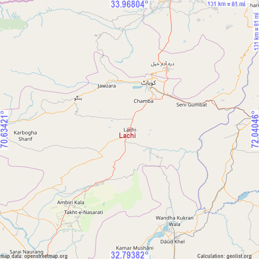
Lachi GPS coordinates[2]
33° 22' 58.476" North, 71° 20' 14.388" East
| Map corner | latitude | longitude |
|---|---|---|
| Upper-left | 33.96804°, | 70.63421° |
| Center: | 33.38291°, | 71.33733° |
| Lower-right: | 32.79382°, | 72.04046° |
| Map W x H: | 130.6×130.6 km | = 81.2×81.2mi |
| max Lat: | 36.32162° ⇑15.3% North |
| Lachi: | 33.38291° |
| min Lat: | ⇓84.7% South 24.14422° |
| min Long | Lachi | max Long |
| 61.74573° | 71.33733° | 75.63372° |
| W 48.8%⇐ | ⇒51.2% E |
Elevation
Elevation of Lachi is 463 m = 1519 ft, and this is 118 m = 387 ft above average elevation for this country.
| Max E: |
2732 m = 8963 ft | 18.7% |
| Lachi | 463 m 1519 ft | |
| Avg. | 345 m = 1132 ft | |
Min E: |
3 m = 10 ft | 81.3% |
See also: Pakistan elevation on elevation.city.
Geographical zone
Lachi is located in North temperate zone (between Tropic of Cancer and the Arctic Circle). Distance of this Northern Tropic circle is 1105.9 km =687.2 mi to South.| Distance of | km | miles | from Lachi |
|---|---|---|---|
| North Pole | 6295.2 | 3911.7 | to North |
| Arctic Circle | 3689.3 | 2292.4 | to North |
| Tropic Cancer | 1105.9 | 687.2 | to South |
| Equator | 3711.8 | 2306.4 | to South |


Nearby cities:
15 places around Lachi: (largest is in red/bold)
• Bannu
81.3 km =50.5 mi,  237°
237°
• Cherat Cantonement
71 km =44.1 mi,  46°
46°
• Daud Khel
60.5 km =37.6 mi,  158°
158°
• Doaba
55.9 km =34.7 mi,  274°
274°
• Hangu
30.6 km =19 mi,  302°
302°
• Jand
63.5 km =39.5 mi,  84°
84°
• Kalabagh
50.7 km =31.5 mi, 157°
• Kamar Mushani
60.1 km =37.3 mi,  177°
177°
• Karak
37.3 km =23.2 mi,  217°
217°
• Kohat
24.4 km =15.2 mi,  25°
25°
• Landi Kotal
81.6 km =50.7 mi,  347°
347°
• Pabbi
81.5 km =50.6 mi, 31°
• Peshawar
73 km =45.4 mi,  17°
17°
• Pindi Gheb
87.6 km =54.4 mi,  100°
100°
• Sarai Naurang
80.8 km =50.2 mi, 219°
Sources, notices
• [Note1] Compared only with cities in Pakistan existing in our database
• [Src1] Map data: © OpenStreetMap contributors (CC-BY-SA)
• [Src2] Other city data from geonames.org with taken over terms of usage.
• [Src3] Geographical zone / Annual Mean Temperature by Robert A. Rohde @ Wikipedia
