Małdyty geodata
Małdyty (Warmia-Masuria) is a populated place; located in Poland in Europe/Warsaw (GMT+2) time zone. With population of 1,410 people, there are 1941 cities with bigger population in this country. Compared to other cities in Poland, 93.4% of cities are located further ↓South; 53.7% of cities are located further ←West and 75% of cities have higher elevation than Małdyty. Note1


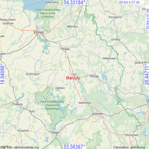
Małdyty GPS coordinates[2]
53° 55' 11.316" North, 19° 44' 38.328" East
| Map corner | latitude | longitude |
|---|---|---|
| Upper-left | 54.33184°, | 19.04086° |
| Center: | 53.91981°, | 19.74398° |
| Lower-right: | 53.50367°, | 20.44711° |
| Map W x H: | 92.1×92.1 km | = 57.2×57.2mi |
| max Lat: | 54.83135° ⇑6.6% North |
| Małdyty: | 53.91981° |
| min Lat: | ⇓93.4% South 49.21328° |
| min Long | Małdyty | max Long |
| 14.20249° | 19.74398° | 24.03723° |
| W 53.7%⇐ | ⇒46.3% E |
Elevation
Elevation of Małdyty is 111 m = 364 ft, and this is 80.4 m = 264 ft below average elevation for this country.
| Max E: |
974 m = 3196 ft | 75% |
| Avg. | 191.4 m = 628 ft | |
| Małdyty | 111 m = 364 ft | |
Min E: |
-3 m = -10 ft | 25% |
See also: Poland elevation on elevation.city.
Geographical zone
Małdyty is located in North temperate zone (between Tropic of Cancer and the Arctic Circle). Distance of this North polar circle is 1405.9 km =873.6 mi to North.| Distance of | km | miles | from Małdyty |
|---|---|---|---|
| North Pole | 4011.7 | 2492.8 | to North |
| Arctic Circle | 1405.9 | 873.6 | to North |
| Tropic Cancer | 3389.4 | 2106.1 | to South |
| Equator | 5995.3 | 3725.3 | to South |


Nearby cities:
15 places around Małdyty: (largest is in red/bold)
• Dzierzgoń
26 km =16.2 mi,  270°
270°
• Gronowo Górne
30.6 km =19 mi,  322°
322°
• Kamiennik Wielki
32.2 km =20 mi,  336°
336°
• Markusy
26.8 km =16.7 mi,  302°
302°
• Miłakowo
23.6 km =14.7 mi,  65°
65°
• Miłomłyn
18.3 km =11.4 mi,  160°
160°
• Morąg
11.9 km =7.4 mi,  91°
91°
• Młynary
29.7 km =18.5 mi,  357°
357°
• Orneta
33.4 km =20.8 mi,  49°
49°
• Ostróda
28.7 km =17.8 mi,  149°
149°
• Pasłęk
16.7 km =10.4 mi, 340°
• Rychliki
15.9 km =9.9 mi, 297°
• Zalewo
12.3 km =7.6 mi,  227°
227°
• Łukta
25.7 km =16 mi,  119°
119°
• Świątki
32.7 km =20.3 mi, 88°
Sources, notices
• [Note1] Compared only with cities in Poland existing in our database
• [Src1] Map data: © OpenStreetMap contributors (CC-BY-SA)
• [Src2] Other city data from geonames.org with taken over terms of usage.
• [Src3] Geographical zone / Annual Mean Temperature by Robert A. Rohde @ Wikipedia
