Krzykosy geodata
Krzykosy (Greater Poland) is a seat of a third-order administrative division; located in Poland in Europe/Warsaw (GMT+2) time zone. With population of 808 people, there are 2841 cities with bigger population in this country. Compared to other cities in Poland, 68.1% of cities are located further ↓South; 80.9% of cities are located further →East and 91.1% of cities have higher elevation than Krzykosy. Note1


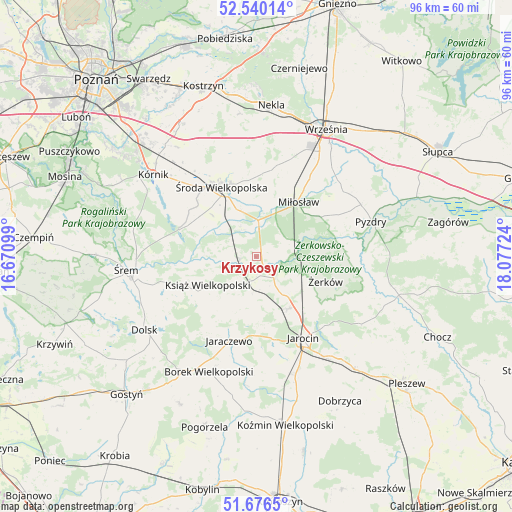
Krzykosy GPS coordinates[2]
52° 6' 37.476" North, 17° 22' 26.796" East
| Map corner | latitude | longitude |
|---|---|---|
| Upper-left | 52.54014°, | 16.67099° |
| Center: | 52.11041°, | 17.37411° |
| Lower-right: | 51.6765°, | 18.07724° |
| Map W x H: | 96×96 km | = 59.7×59.7mi |
| max Lat: | 54.83135° ⇑31.9% North |
| Krzykosy: | 52.11041° |
| min Lat: | ⇓68.1% South 49.21328° |
| min Long | Krzykosy | max Long |
| 14.20249° | 17.37411° | 24.03723° |
| W 19.1%⇐ | ⇒80.9% E |
Elevation
Elevation of Krzykosy is 70 m = 230 ft, and this is 121.4 m = 398 ft below average elevation for this country.
| Max E: |
974 m = 3196 ft | 91.1% |
| Avg. | 191.4 m = 628 ft | |
| Krzykosy | 70 m = 230 ft | |
Min E: |
-3 m = -10 ft | 8.9% |
See also: Poland elevation on elevation.city.
Geographical zone
Krzykosy is located in North temperate zone (between Tropic of Cancer and the Arctic Circle). Distance of this North polar circle is 1607 km =998.5 mi to North.| Distance of | km | miles | from Krzykosy |
|---|---|---|---|
| North Pole | 4212.9 | 2617.8 | to North |
| Arctic Circle | 1607 | 998.5 | to North |
| Tropic Cancer | 3188.2 | 1981.1 | to South |
| Equator | 5794.1 | 3600.3 | to South |


Nearby cities:
15 places around Krzykosy: (largest is in red/bold)
• Dobieszczyzna
22.5 km =14 mi,  114°
114°
• Dominowo
20.2 km =12.6 mi,  356°
356°
• Grabowo Królewskie
22.3 km =13.9 mi,  49°
49°
• Jaraczewo
16.6 km =10.3 mi,  198°
198°
• Jarocin
17.7 km =11 mi,  150°
150°
• Kołaczkowo
20.8 km =12.9 mi,  55°
55°
• Książ Wielkopolski
10.7 km =6.6 mi,  239°
239°
• Lisewo
22.1 km =13.7 mi,  97°
97°
• Miłosław
13 km =8.1 mi,  37°
37°
• Nowe Miasto nad Wartą
3.4 km =2.1 mi,  131°
131°
• Solec
3.1 km =1.9 mi,  262°
262°
• Słupia Wiełka
15.9 km =9.9 mi,  318°
318°
• Zaniemyśl
15.3 km =9.5 mi,  289°
289°
• Środa Wielkopolska
14.7 km =9.1 mi,  333°
333°
• Żerków
13.7 km =8.5 mi, 109°
Sources, notices
• [Note1] Compared only with cities in Poland existing in our database
• [Src1] Map data: © OpenStreetMap contributors (CC-BY-SA)
• [Src2] Other city data from geonames.org with taken over terms of usage.
• [Src3] Geographical zone / Annual Mean Temperature by Robert A. Rohde @ Wikipedia
