Kujawy geodata
Kujawy (Opole Voivodeship) is a populated place; located in Poland in Europe/Warsaw (GMT+2) time zone. With population of 826 people, there are 2811 cities with bigger population in this country. Compared to other cities in Poland, 68.4% of cities are located further ↑North; 77.2% of cities are located further →East and 53% of cities have lower elevation than Kujawy. Note1
Administrative division(s):
- Level 1: Opole Voivodeship
- Level 2: Powiat krapkowicki
- Level 3: Strzeleczki


Kujawy GPS coordinates[2]
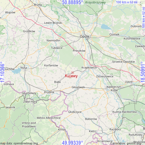
50° 26' 35.844" North, 17° 48' 24.408" East
| Map corner | latitude | longitude |
|---|---|---|
| Upper-left | 50.88895°, | 17.10366° |
| Center: | 50.44329°, | 17.80678° |
| Lower-right: | 49.99339°, | 18.50991° |
| Map W x H: | 99.6×99.6 km | = 61.9×61.9mi |
| max Lat: | 54.83135° ⇑68.4% North |
| Kujawy: | 50.44329° |
| min Lat: | ⇓31.6% South 49.21328° |
| min Long | Kujawy | max Long |
| 14.20249° | 17.80678° | 24.03723° |
| W 22.8%⇐ | ⇒77.2% E |
Elevation
Elevation of Kujawy is 180 m = 591 ft, and this is 11.4 m = 37 ft below average elevation for this country.
| Max E: |
974 m = 3196 ft | 47% |
| Avg. | 191.4 m = 628 ft | |
| Kujawy | 180 m = 591 ft | |
Min E: |
-3 m = -10 ft | 53% |
See also: Poland elevation on elevation.city.
Geographical zone
Kujawy is located in North temperate zone (between Tropic of Cancer and the Arctic Circle). Distance of this North polar circle is 1792.4 km =1113.7 mi to North.| Distance of | km | miles | from Kujawy |
|---|---|---|---|
| North Pole | 4398.3 | 2733 | to North |
| Arctic Circle | 1792.4 | 1113.7 | to North |
| Tropic Cancer | 3002.8 | 1865.9 | to South |
| Equator | 5608.8 | 3485.1 | to South |


Nearby cities:
15 places around Kujawy: (largest is in red/bold)
• Biała
12.2 km =7.6 mi,  238°
238°
• Dobra
7.2 km =4.5 mi,  82°
82°
• Gogolin
16 km =9.9 mi,  70°
70°
• Górażdże
17.3 km =10.7 mi,  56°
56°
• Głogówek
10.8 km =6.7 mi,  157°
157°
• Korfantów
15.6 km =9.7 mi,  289°
289°
• Krapkowice
11.8 km =7.3 mi, 72°
• Kórnica
8.2 km =5.1 mi,  121°
121°
• Kąty Opolskie
17.5 km =10.9 mi,  42°
42°
• Prószków
15.5 km =9.6 mi,  17°
17°
• Racławice Śląskie
14.8 km =9.2 mi,  188°
188°
• Rozkochów
12.5 km =7.8 mi,  130°
130°
• Strzeleczki
4.1 km =2.5 mi, 59°
• Twardawa
17.1 km =10.6 mi, 130°
• Walce
16 km =9.9 mi, 119°
Sources, notices
• [Note1] Compared only with cities in Poland existing in our database
• [Src1] Map data: © OpenStreetMap contributors (CC-BY-SA)
• [Src2] Other city data from geonames.org with taken over terms of usage.
• [Src3] Geographical zone / Annual Mean Temperature by Robert A. Rohde @ Wikipedia
