Klukowo geodata
Klukowo (Podlasie) is a populated place; located in Poland in Europe/Warsaw (GMT+2) time zone. With population of 610 people, there are 3248 cities with bigger population in this country. Compared to other cities in Poland, 80.5% of cities are located further ↓South; 91.7% of cities are located further ←West and 62.7% of cities have higher elevation than Klukowo. Note1


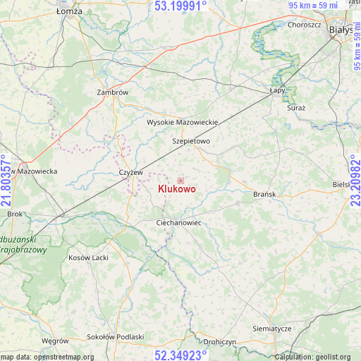
Klukowo GPS coordinates[2]
52° 46' 35.94" North, 22° 30' 24.084" East
| Map corner | latitude | longitude |
|---|---|---|
| Upper-left | 53.19991°, | 21.80357° |
| Center: | 52.77665°, | 22.50669° |
| Lower-right: | 52.34923°, | 23.20982° |
| Map W x H: | 94.6×94.6 km | = 58.8×58.8mi |
| max Lat: | 54.83135° ⇑19.5% North |
| Klukowo: | 52.77665° |
| min Lat: | ⇓80.5% South 49.21328° |
| min Long | Klukowo | max Long |
| 14.20249° | 22.50669° | 24.03723° |
| W 91.7%⇐ | ⇒8.3% E |
Elevation
Elevation of Klukowo is 140 m = 459 ft, and this is 51.4 m = 169 ft below average elevation for this country.
| Max E: |
974 m = 3196 ft | 62.7% |
| Avg. | 191.4 m = 628 ft | |
| Klukowo | 140 m = 459 ft | |
Min E: |
-3 m = -10 ft | 37.3% |
See also: Poland elevation on elevation.city.
Geographical zone
Klukowo is located in North temperate zone (between Tropic of Cancer and the Arctic Circle). Distance of this North polar circle is 1533 km =952.6 mi to North.| Distance of | km | miles | from Klukowo |
|---|---|---|---|
| North Pole | 4138.8 | 2571.7 | to North |
| Arctic Circle | 1533 | 952.6 | to North |
| Tropic Cancer | 3262.3 | 2027.1 | to South |
| Equator | 5868.2 | 3646.3 | to South |


Nearby cities:
15 places around Klukowo: (largest is in red/bold)
• Andrzejewo
21.3 km =13.2 mi,  286°
286°
• Boguty-Pianki
9.1 km =5.7 mi,  222°
222°
• Brańsk
22.6 km =14 mi,  99°
99°
• Ceranów
24.8 km =15.4 mi,  229°
229°
• Ciechanowiec
11 km =6.8 mi,  183°
183°
• Czyżew
13.3 km =8.3 mi,  280°
280°
• Grodzisk
26.5 km =16.5 mi,  143°
143°
• Nur
17.3 km =10.7 mi, 225°
• Perlejewo
23.7 km =14.7 mi,  170°
170°
• Rudka
15.9 km =9.9 mi,  111°
111°
• Sokoły
27.4 km =17 mi,  28°
28°
• Sterdyń
26.1 km =16.2 mi,  213°
213°
• Szepietowo
10.7 km =6.6 mi,  13°
13°
• Wysokie Mazowieckie
15.6 km =9.7 mi,  2°
2°
• Zaręby Kościelne
25.8 km =16 mi,  265°
265°
Sources, notices
• [Note1] Compared only with cities in Poland existing in our database
• [Src1] Map data: © OpenStreetMap contributors (CC-BY-SA)
• [Src2] Other city data from geonames.org with taken over terms of usage.
• [Src3] Geographical zone / Annual Mean Temperature by Robert A. Rohde @ Wikipedia
