San Carlos geodata
San Carlos (Concepción) is a populated place; located in Paraguay in America/Asuncion (GMT-4) time zone. With population of 705 people, there are 153 cities with bigger population in this country. Compared to other cities in Paraguay, 97.5% of cities are located further ↓South; 79.6% of cities are located further →East and 74.1% of cities have higher elevation than San Carlos. Note1


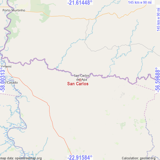
San Carlos GPS coordinates[2]
22° 16' 0.012" South, 57° 18' 0" West
| Map corner | latitude | longitude |
|---|---|---|
| Upper-left | -21.61448°, | -58.00313° |
| Center: | -22.26667°, | -57.3° |
| Lower-right: | -22.91584°, | -56.59688° |
| Map W x H: | 144.7×144.7 km | = 89.9×89.9mi |
| max Lat: | -19.91667° ⇑2.5% North |
| San Carlos: | -22.26667° |
| min Lat: | ⇓97.5% South -27.38662° |
| min Long | San Carlos | max Long |
| -60.78333° | -57.3° | -54.30694° |
| W 20.4%⇐ | ⇒79.6% E |
Elevation
Elevation of San Carlos is 119 m = 390 ft, and this is 50.7 m = 166 ft below average elevation for this country.
| Max E: |
658 m = 2159 ft | 74.1% |
| Avg. | 169.7 m = 557 ft | |
| San Carlos | 119 m = 390 ft | |
Min E: |
46 m = 151 ft | 25.9% |
See also: Paraguay elevation on elevation.city.
Geographical zone
San Carlos is located in South Torrid zone (between Equator and Tropic of Capricorn). Distance of this Southern Tropic circle is 130.1 km =80.8 mi to South.| Distance of | km | miles | from San Carlos |
|---|---|---|---|
| Equator | 2475.8 | 1538.4 | to North |
| Tropic Capricorn | 130.1 | 80.8 | to South |
| Antarctic Circle | 4925.4 | 3060.5 | to South |
| South Pole | 7531.2 | 4679.7 | to South |


Nearby cities:
15 places around San Carlos: (largest is in red/bold)
• Antequera
202.5 km =125.8 mi,  177°
177°
• Bella Vista
82 km =51 mi,  79°
79°
• Belén
133.4 km =82.9 mi, 178°
• Capitán Bado
212.5 km =132 mi,  121°
121°
• Chore
225.7 km =140.2 mi,  161°
161°
• Colonia Nueva Germania
192.9 km =119.9 mi, 161°
• Concepción
126.7 km =78.7 mi,  186°
186°
• Fuerte Olimpo
148.6 km =92.3 mi,  336°
336°
• Horqueta
122.2 km =75.9 mi,  168°
168°
• Lima
198.3 km =123.2 mi, 155°
• Pedro Juan Caballero
164 km =101.9 mi,  100°
100°
• San Lázaro
64.4 km =40 mi,  279°
279°
• San Pablo de Ycuámandyyú
210.8 km =131 mi, 173°
• San Pedro de Ycuamandiyú
203.4 km =126.4 mi, 173°
• Tacuatí
150.7 km =93.6 mi,  150°
150°
Sources, notices
• [Note1] Compared only with cities in Paraguay existing in our database
• [Src1] Map data: © OpenStreetMap contributors (CC-BY-SA)
• [Src2] Other city data from geonames.org with taken over terms of usage.
• [Src3] Geographical zone / Annual Mean Temperature by Robert A. Rohde @ Wikipedia
