Priboj geodata
Priboj (Central Serbia) is a seat of a third-order administrative division; located in Serbia in Europe/Belgrade (GMT+2) time zone. With population of 3 people, there are 363 cities with bigger population in this country. Compared to other cities in Serbia, 85.7% of cities are located further ↑North; 87.3% of cities are located further →East and 90.2% of cities have lower elevation than Priboj. Note1


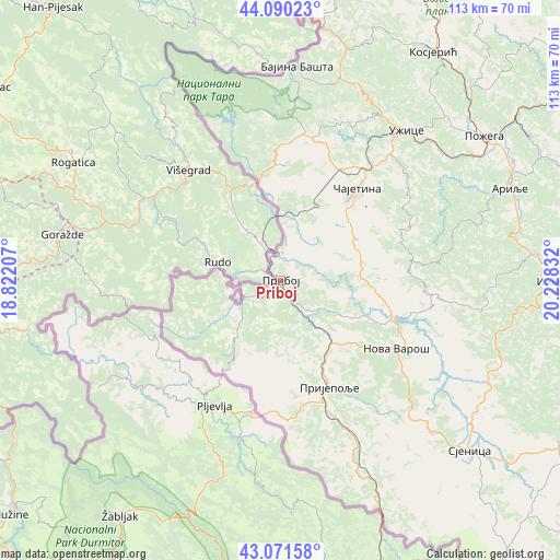
Priboj GPS coordinates[2]
43° 34' 59.016" North, 19° 31' 30.684" East
| Map corner | latitude | longitude |
|---|---|---|
| Upper-left | 44.09023°, | 18.82207° |
| Center: | 43.58306°, | 19.52519° |
| Lower-right: | 43.07158°, | 20.22832° |
| Map W x H: | 113.3×113.3 km | = 70.4×70.4mi |
| max Lat: | 46.1° ⇑85.7% North |
| Priboj: | 43.58306° |
| min Lat: | ⇓14.3% South 42.25846° |
| min Long | Priboj | max Long |
| 18.9276° | 19.52519° | 22.77556° |
| W 12.7%⇐ | ⇒87.3% E |
Elevation
Elevation of Priboj is 398 m = 1306 ft, and this is 221.6 m = 727 ft above average elevation for this country.
| Max E: |
1421 m = 4662 ft | 9.8% |
| Priboj | 398 m 1306 ft | |
| Avg. | 176.4 m = 579 ft | |
Min E: |
49 m = 161 ft | 90.2% |
See also: Serbia elevation on elevation.city.
Geographical zone
Priboj is located in North temperate zone (between Tropic of Cancer and the Arctic Circle). Distance of this Northern Tropic circle is 2240.1 km =1391.9 mi to South.| Distance of | km | miles | from Priboj |
|---|---|---|---|
| North Pole | 5161.1 | 3207 | to North |
| Arctic Circle | 2555.2 | 1587.7 | to North |
| Tropic Cancer | 2240.1 | 1391.9 | to South |
| Equator | 4846 | 3011.2 | to South |


Nearby cities:
15 places around Priboj: (largest is in red/bold)
• Arilje
49.6 km =30.8 mi,  67°
67°
• Bajina Bašta
43.2 km =26.8 mi,  4°
4°
• Ivanjica
56.9 km =35.4 mi,  90°
90°
• Kosjerić
55.2 km =34.3 mi,  33°
33°
• Mokra Gora
22.9 km =14.2 mi,  354°
354°
• Nova Varoš
26.8 km =16.7 mi,  120°
120°
• Osječenik
55.7 km =34.6 mi,  151°
151°
• Požega
50.6 km =31.4 mi,  54°
54°
• Prijepolje
23.7 km =14.7 mi,  155°
155°
• Sjenica
51.5 km =32 mi,  131°
131°
• Sokolovo Brdo
54.5 km =33.9 mi, 155°
• Užice
40.2 km =25 mi,  40°
40°
• Zlatibor
21.5 km =13.4 mi, 40°
• Ðurići
28.4 km =17.6 mi,  341°
341°
• Čajetina
23.9 km =14.9 mi, 39°
Sources, notices
• [Note1] Compared only with cities in Serbia existing in our database
• [Src1] Map data: © OpenStreetMap contributors (CC-BY-SA)
• [Src2] Other city data from geonames.org with taken over terms of usage.
• [Src3] Geographical zone / Annual Mean Temperature by Robert A. Rohde @ Wikipedia
