Tambovka geodata
Tambovka (Amur Oblast) is a populated place; located in Russia in Asia/Yakutsk (GMT+9) time zone. With population of 7,834 people, there are 1843 cities with bigger population in this country. Compared to other cities in Russia, 77.7% of cities are located further ↑North; 93.8% of cities are located further ←West and 62.1% of cities have lower elevation than Tambovka. Note1


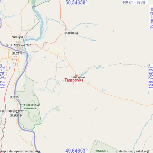
Tambovka GPS coordinates[2]
50° 5' 58.848" North, 128° 3' 26.064" East
| Map corner | latitude | longitude |
|---|---|---|
| Upper-left | 50.54858°, | 127.35412° |
| Center: | 50.09968°, | 128.05724° |
| Lower-right: | 49.64653°, | 128.76037° |
| Map W x H: | 100.3×100.3 km | = 62.3×62.3mi |
| max Lat: | 73.50819° ⇑77.7% North |
| Tambovka: | 50.09968° |
| min Lat: | ⇓22.3% South 41.28413° |
| min Long | Tambovka | max Long |
| -179.12198° | 128.05724° | 179.35046° |
| W 93.8%⇐ | ⇒6.2% E |
Elevation
Elevation of Tambovka is 174 m = 571 ft, and this is 28.6 m = 94 ft below average elevation for this country.
| Max E: |
2518 m = 8261 ft | 37.9% |
| Avg. | 202.6 m = 665 ft | |
| Tambovka | 174 m = 571 ft | |
Min E: |
-28 m = -92 ft | 62.1% |
See also: Russia elevation on elevation.city.
Geographical zone
Tambovka is located in North temperate zone (between Tropic of Cancer and the Arctic Circle). Distance of this North polar circle is 1830.6 km =1137.5 mi to North.| Distance of | km | miles | from Tambovka |
|---|---|---|---|
| North Pole | 4436.5 | 2756.7 | to North |
| Arctic Circle | 1830.6 | 1137.5 | to North |
| Tropic Cancer | 2964.6 | 1842.1 | to South |
| Equator | 5570.6 | 3461.4 | to South |


Nearby cities:
15 places around Tambovka: (largest is in red/bold)
• Belogorsk
95.5 km =59.3 mi,  18°
18°
• Blagoveshchensk
41.9 km =26 mi,  298°
298°
• Bureya
129.6 km =80.5 mi,  104°
104°
• Konstantinovka
53.7 km =33.4 mi,  185°
185°
• Novobureyskiy
134.3 km =83.5 mi, 104°
• Novoraychikhinsk
115.2 km =71.6 mi,  107°
107°
• Poyarkovo
67.8 km =42.1 mi,  140°
140°
• Raychikhinsk
102.7 km =63.8 mi, 109°
• Romny
111.4 km =69.2 mi,  51°
51°
• Seryshevo
112.9 km =70.2 mi,  11°
11°
• Shirokiy
111.3 km =69.2 mi, 109°
• Srednebelaya
62.2 km =38.6 mi,  356°
356°
• Svobodnyy
142 km =88.2 mi,  2°
2°
• Yekaterinoslavka
80.8 km =50.2 mi,  67°
67°
• Zavitinsk
98.7 km =61.3 mi,  89°
89°
Sources, notices
• [Note1] Compared only with cities in Russia existing in our database
• [Src1] Map data: © OpenStreetMap contributors (CC-BY-SA)
• [Src2] Other city data from geonames.org with taken over terms of usage.
• [Src3] Geographical zone / Annual Mean Temperature by Robert A. Rohde @ Wikipedia
